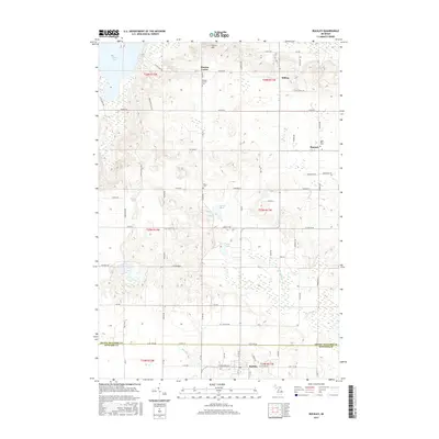
2017 Map of Buckley
USGS Topo · Published 2017About this map
Buckley sits at the southern edge of this Michigan landscape, marking the transition between Grand Traverse and Wexford Counties. The area is defined by a series of small agricultural settlements and crossroads including Hannah, Hilltop, and Monroe Center, each surrounded by a grid of rural roads and orchards. These small communities are historically anchored by local burial grounds such as Saint Mary's Cem and Monroe Center Cem, which serve as vital landmarks for genealogical research in this part of the state. The terrain is characterized by numerous glacial features, from the elevation of Pierce Hill in the north to the low-lying wetlands feeding W Br Anderson Creek. Smaller water bodies like Bartlett Lake and Fish Lake are interspersed among the farms, while the larger Duck Lake occupies the northwestern corner, providing a clear boundary for the local topography.
Find a feature on this map
72 named features on this map. Tap any name to fly to it.
Don’t see what you’re looking for? This feature index may not catch every label — zoom into the map to look around manually.
Map Details
Editions of this 2017 Buckley Map
This is the sole edition of this map. No revisions or reprints were ever made.
Other maps of this area

1954 · Traverse City
USGS Topo · 1:250,000

1956 · Kingsley
USGS Topo · 1:62,500

1956 · Mesick
USGS Topo · 1:62,500

1956 · Thompsonville
USGS Topo · 1:62,500

1957 · Copemish
USGS Topo · 1:62,500

1958 · Traverse City
USGS Topo · 1:250,000

1976 · Thompsonville NE
USGS Topo · 1:24,000

1976 · Thompsonville SE
USGS Topo · 1:24,000

1983 · Cadillac
USGS Topo · 1:100,000

1983 · Buckley
USGS Topo · 1:25,000