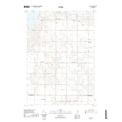
2019 Map of Buckley
USGS Topo · Published 2019About this map
Monroe Center and Hilltop anchor the northern landscape of this rural Michigan quadrangle, where the boundary between Grand Traverse and Wexford counties divides the southern agricultural and lakeside terrain. Small settlements like Hannah and the village of Buckley provide clear points of reference for genealogical research, supported by the presence of local burial grounds such as Saint Mary's Cem, Downs Cem, and Monroe Center Cem. The geography is defined by a dense network of country roads, including Hilltop Rd, Red School Rd, and Davis Rd, which navigate around significant water bodies like Duck Lake and the smaller Fish Lake. The terrain rises at Pierce Hill and descends toward the southern reaches of Lake Gitchegumee, illustrating a classic glacial landscape of kettle lakes and rolling hills utilized for timber and farming.
Find a feature on this map
48 named features on this map. Tap any name to fly to it.
Don’t see what you’re looking for? This feature index may not catch every label — zoom into the map to look around manually.
Map Details
Editions of this 2019 Buckley Map
This is the sole edition of this map. No revisions or reprints were ever made.
Other maps of this area

1954 · Traverse City
USGS Topo · 1:250,000

1956 · Kingsley
USGS Topo · 1:62,500

1956 · Mesick
USGS Topo · 1:62,500

1956 · Thompsonville
USGS Topo · 1:62,500

1957 · Copemish
USGS Topo · 1:62,500

1958 · Traverse City
USGS Topo · 1:250,000

1976 · Thompsonville NE
USGS Topo · 1:24,000

1976 · Thompsonville SE
USGS Topo · 1:24,000

1983 · Cadillac
USGS Topo · 1:100,000

1983 · Buckley
USGS Topo · 1:25,000