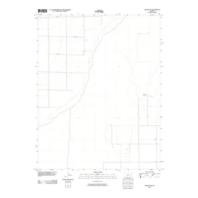
2009 Map of Bucklin NE
USGS Topo · Published 2009About this map
The Arkansas River winds through this section of Kiowa County, carving a path through the prairie landscape of western Kansas. This 2009 survey highlights the intersection of industrial activity and the rigid section-line grid typical of the Great Plains. The Fralick West Oil Field stands as a primary feature of local industry, reflecting the region's reliance on energy extraction. Local transit is defined by a network of rural routes including Lariat Rd, Marshall Rd, Nickel Rd, and 134 Rd, which facilitate movement between agricultural plots and mineral interests. The map illustrates a spare, functional geography where the natural curves of the river contrast with the straight lines of human engineering and resource management.
Find a feature on this map
6 named features on this map. Tap any name to fly to it.
Don’t see what you’re looking for? This feature index may not catch every label — zoom into the map to look around manually.
Map Details
Editions of this 2009 Bucklin NE Map
This is the sole edition of this map. No revisions or reprints were ever made.
Other maps of this area

1889 · Kinsley
USGS Topo · 1:125,000

1892 · Kinsley
USGS Topo · 1:125,000

1892 · Spearville
USGS Topo · 1:125,000

1894 · Spearville
USGS Topo · 1:125,000

1894 · Kinsley
USGS Topo · 1:125,000

1955 · Pratt
USGS Topo · 1:250,000

1959 · Pratt
USGS Topo · 1:250,000

1969 · Bucklin NE
USGS Topo · 1:24,000

1969 · Bucklin SE
USGS Topo · 1:24,000

1969 · Greensburg NW
USGS Topo · 1:24,000