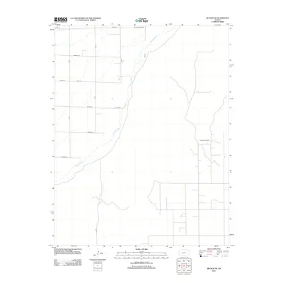
2012 Map of Bucklin NE
USGS Topo · Published 2012About this map
The Arkansas River meanders through this portion of Kiowa County, carving a distinct path through the Kansas plains. This 2012 survey reveals a landscape primarily defined by a rigid section-line road grid, punctuated by evocative names like Butter And Egg Rd, Outlaw Rd, and Quaker Rd. The agricultural and industrial character of the region is evident in the sprawling layout of the Fralick West Oil Field, which occupies much of the eastern terrain.
Find a feature on this map
15 named features on this map. Tap any name to fly to it.
Don’t see what you’re looking for? This feature index may not catch every label — zoom into the map to look around manually.
Map Details
Editions of this 2012 Bucklin NE Map
This is the sole edition of this map. No revisions or reprints were ever made.
Other maps of this area

1889 · Kinsley
USGS Topo · 1:125,000

1892 · Kinsley
USGS Topo · 1:125,000

1892 · Spearville
USGS Topo · 1:125,000

1894 · Spearville
USGS Topo · 1:125,000

1894 · Kinsley
USGS Topo · 1:125,000

1955 · Pratt
USGS Topo · 1:250,000

1959 · Pratt
USGS Topo · 1:250,000

1969 · Bucklin NE
USGS Topo · 1:24,000

1969 · Bucklin SE
USGS Topo · 1:24,000

1969 · Greensburg NW
USGS Topo · 1:24,000