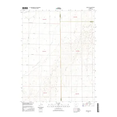
2015 Map of Bucklin NE
USGS Topo · Published 2015About this map
The Arkansas River winds diagonally through this landscape, marking the intersection of Ford, Edwards, and Kiowa counties. This 2015 USGS survey documents a region defined by its rigid section lines and an extensive network of rural roads that reflect the area's agricultural heritage. Distinctively named routes such as Butter and Egg Rd, Outlaw Rd, and Quaker Rd grid the terrain, providing access to the vast open spaces between the river and Coon Cr.
Find a feature on this map
27 named features on this map. Tap any name to fly to it.
Don’t see what you’re looking for? This feature index may not catch every label — zoom into the map to look around manually.
Map Details
Editions of this 2015 Bucklin NE Map
This is the sole edition of this map. No revisions or reprints were ever made.
Other maps of this area

1889 · Kinsley
USGS Topo · 1:125,000

1892 · Kinsley
USGS Topo · 1:125,000

1892 · Spearville
USGS Topo · 1:125,000

1894 · Spearville
USGS Topo · 1:125,000

1894 · Kinsley
USGS Topo · 1:125,000

1955 · Pratt
USGS Topo · 1:250,000

1959 · Pratt
USGS Topo · 1:250,000

1969 · Bucklin NE
USGS Topo · 1:24,000

1969 · Bucklin SE
USGS Topo · 1:24,000

1969 · Greensburg NW
USGS Topo · 1:24,000