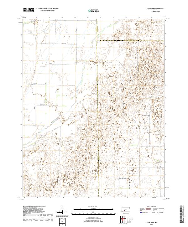
2022 Map of Bucklin NE
USGS Topo · Published 2022About this map
The Arkansas River carves a diagonal path through this corner of the High Plains, serving as the primary geographical anchor for a landscape defined by the intersection of Ford, Edwards, and Kiowa counties. The terrain is marked by the distinctive drainage of Coon Cr in the northwest and a vast network of section-line roads that reflect the rigid organization of the Public Land Survey System. Local road names such as Butter and Egg Rd, Outlaw Rd, and Lariat Rd offer a glimpse into the agricultural and ranching heritage that has shaped this region. This 2022 survey captures the modern rural infrastructure, showing the sparse but persistent settlement pattern characterized by large-scale farming plots and the enduring reliance on the river's valley for orientation in an otherwise uniform prairie environment.
Find a feature on this map
28 named features on this map. Tap any name to fly to it.
Don’t see what you’re looking for? This feature index may not catch every label — zoom into the map to look around manually.
Map Details
Editions of this 2022 Bucklin NE Map
This is the sole edition of this map. No revisions or reprints were ever made.
Other maps of this area

1889 · Kinsley
USGS Topo · 1:125,000

1892 · Kinsley
USGS Topo · 1:125,000

1892 · Spearville
USGS Topo · 1:125,000

1894 · Spearville
USGS Topo · 1:125,000

1894 · Kinsley
USGS Topo · 1:125,000

1955 · Pratt
USGS Topo · 1:250,000

1959 · Pratt
USGS Topo · 1:250,000

1969 · Bucklin NE
USGS Topo · 1:24,000

1969 · Bucklin SE
USGS Topo · 1:24,000

1969 · Greensburg NW
USGS Topo · 1:24,000