Loading...
Loading map...1990 Map of Buckner
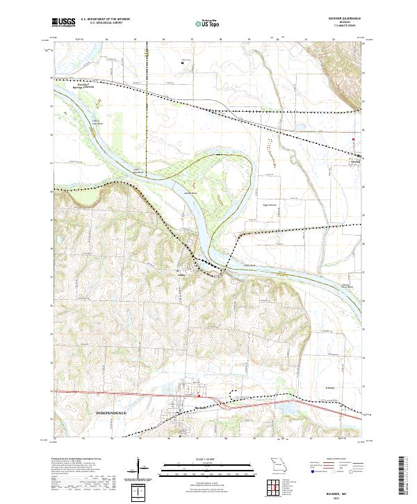
USGS Topo · Published 1997About this map
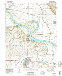
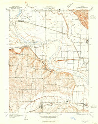
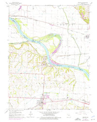
The Missouri River dominates this landscape, carving a wide path where the borders of Clay, Ray, and Jackson counties meet. The river's powerful hydrological influence is evident in the broad floodplain of Egypt Bottom and the pronounced oxbow at Jackass Bend. On the southern bluffs, the settlement of Sibley overlooks the river, while further inland, Buckner and Levasy anchor the agricultural and transport corridor along the southern edge of the quadrangle.
Find a feature on this map
25 named features on this map. Tap any name to fly to it.
Don’t see what you’re looking for? This feature index may not catch every label — zoom into the map to look around manually.
Map Details
Date Portrayed1990
Date Published1997
PublisherU.S. Geological Survey
Map TypeTopographic
Scale1:24000
Physical Dimensions21.7 x 26.8 inches
Editions of this 1990 Buckner Map
This is the sole edition of this map. No revisions or reprints were ever made.
Historical Maps of Independence Through Time
4 maps found
Featured Locations
Source Details
SourceU.S. Geological Survey
CopyrightPublic Domain