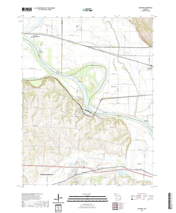
2021 Map of Buckner
USGS Topo · Published 2021About this map
The Missouri River carves a massive, winding path through this region, creating a series of deep loops and fertile lowlands including Cooley Lake Bend, Jackass Bend, and Egypt Bottom. These river dynamics define the boundaries of Clay, Ray, and Jackson counties, where the water has historically dictated the placement of rail and road infrastructure. The settlement of Sibley sits high on the southern bluffs overlooking Sibley Bend, while the town of Buckner serves as a southern anchor, flanked by the Buckner Hill Cem and the waters of Fire Prairie Cr.
Find a feature on this map
83 named features on this map. Tap any name to fly to it.
Don’t see what you’re looking for? This feature index may not catch every label — zoom into the map to look around manually.
Map Details
Editions of this 2021 Buckner Map
This is the sole edition of this map. No revisions or reprints were ever made.
Other maps of this area

1894 · Independence
USGS Topo · 1:125,000

1933 · Blue Springs
USGS Topo · 1:24,000

1934 · Oak Grove
USGS Topo · 1:24,000

1935 · Buckner
USGS Topo · 1:24,000

1935 · Missouri City
USGS Topo · 1:24,000

1936 · Kearney
USGS Topo · 1:48,000

1942 · Kearney
USGS Topo · 1:62,500

1945 · Kearney
USGS Topo · 1:62,500
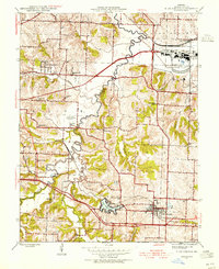
1945 · Blue Springs
USGS Topo · 1:24,000
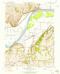
1945 · Missouri City
USGS Topo · 1:24,000