Loading...
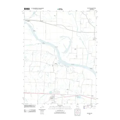
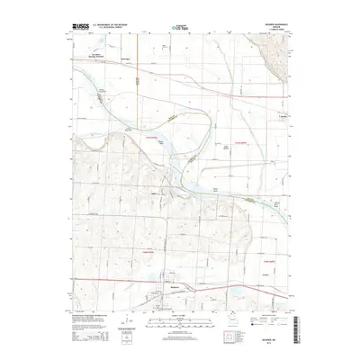
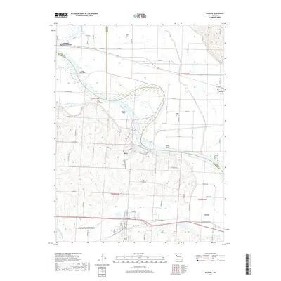
Loading map...1965 Map of Buckner
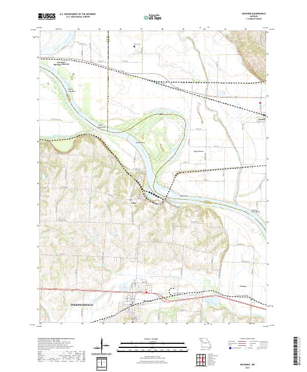
USGS Topo · Published 1976About this map
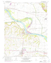
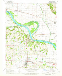
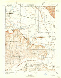
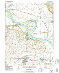
Fort Osage anchors the landscape where the Missouri River makes a sharp northern bend, defining the transition between the high bluffs of the south and the fertile plains of Blue Bottom and Orick Bottom. This mid-1960s perspective captures a river-dependent economy in transition, where major rail lines like the Missouri Pacific and the Norfolk and Western parallel the water's edge, serving the agricultural hubs of Buckner, Levasy, and Sibley.
Find a feature on this map
35 named features on this map. Tap any name to fly to it.
Don’t see what you’re looking for? This feature index may not catch every label — zoom into the map to look around manually.
Map Details
Date Portrayed1965
Date Published1976
PublisherU.S. Geological Survey
Map TypeTopographic
Scale1:24,000
Physical Dimensions21.4 x 26.8 inches
Editions of this 1965 Buckner Map
2 editions found
Historical Maps of Independence Through Time
7 maps found
Featured Locations
Source Details
SourceU.S. Geological Survey
CopyrightPublic Domain