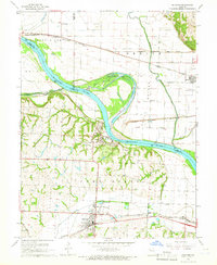
1965 Map of Buckner
USGS Topo · Published 1966About this map
Fort Osage stands as a primary landmark overlooking the Missouri River in this mid-1960s survey of the river valley east of Kansas City. The landscape is defined by the contrast between the flat alluvial Blue Bottom to the north and the dissection of Fort Osage township to the south. Significant rail infrastructure of the mid-century is captured here, with the Atchison Topeka and Santa Fe and the Missouri Pacific lines serving the towns of Buckner and Levasy. Local history is preserved in the location of the Buckner Hill Cem, Dillen Cem, and rural institutions like the Clevenger Sch. To the north, Cooley Lake and the meandering Fishing River mark the ancient path of the Missouri, while the modern river channel cuts a wide arc past the historic settlement at Sibley.
Find a feature on this map
31 named features on this map. Tap any name to fly to it.
Don’t see what you’re looking for? This feature index may not catch every label — zoom into the map to look around manually.
Map Details
Editions of this 1965 Buckner Map
2 editions found
Other maps of this area

1894 · Independence
USGS Topo · 1:125,000

1933 · Blue Springs
USGS Topo · 1:24,000

1934 · Oak Grove
USGS Topo · 1:24,000

1935 · Buckner
USGS Topo · 1:24,000

1935 · Missouri City
USGS Topo · 1:24,000

1936 · Kearney
USGS Topo · 1:48,000

1942 · Kearney
USGS Topo · 1:62,500

1945 · Kearney
USGS Topo · 1:62,500
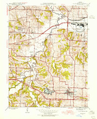
1945 · Blue Springs
USGS Topo · 1:24,000
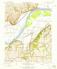
1945 · Missouri City
USGS Topo · 1:24,000