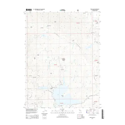
2015 Map of Bucks Lake
USGS Topo · Published 2015About this map
Bucks Lake and Lower Bucks Lake anchor this high-elevation landscape within the Plumas National Forest. The geography is defined by a complex network of ravines and peaks, including Bucks Mtn and Spanish Peak, while the Pacific Crest National Scenic Trail winds through the central and eastern sections. Localized landmarks like Sandy Point and Rainbow Point provide specific coastal orientation along the lake's northern and southern shores. Numerous smaller water bodies are scattered across the terrain, from the cluster at Three Lakes to the isolated Thompson Lake and Silver Lake. The map details a transition from dense forest to specialized recreation points, with names like Pat Maloy Ravine and French Ravine reflecting the heritage of early land use and topographical naming in the Sierra Nevada.
Find a feature on this map
54 named features on this map. Tap any name to fly to it.
Don’t see what you’re looking for? This feature index may not catch every label — zoom into the map to look around manually.
Map Details
Editions of this 2015 Bucks Lake Map
This is the sole edition of this map. No revisions or reprints were ever made.
Other maps of this area

1886 · Lassen Peak
USGS Topo · 1:250,000

1888 · Bidwell Bar
USGS Topo · 1:125,000

1891 · Bidwell Bar
USGS Topo · 1:125,000

1892 · Lassen Peak
USGS Topo · 1:250,000

1893 · Bidwell Bar
USGS Topo · 1:125,000

1894 · Lassen Peak
USGS Topo · 1:250,000

1895 · Bidwell Bar
USGS Topo · 1:125,000

1897 · Bidwell Bar
USGS Topo · 1:125,000

1950 · Bucks Lake
USGS Topo · 1:62,500

1955 · Almanor
USGS Topo · 1:62,500