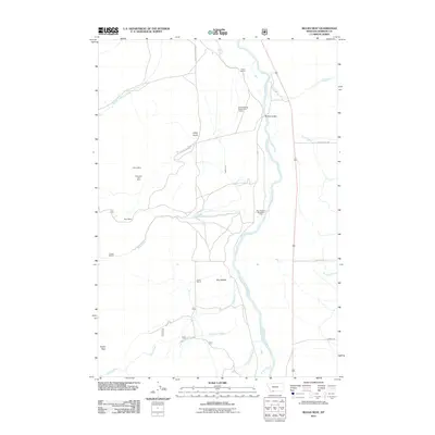
2011 Map of Bucks Nest
USGS Topo · Published 2011About this map
Madison River frontage and high-country resource extraction define this portion of Madison County. The landscape is marked by industrial activity, including the Cyprus Mine, Mountain Talc Mine, and Ruby Mine, alongside the Krauss Sawmill located near the headwaters of Ruby Creek. These sites, tucked away in the drainages of Johny Gulch and Hyde Creek, illustrate the enduring importance of mining and timber to the local economy.
Find a feature on this map
28 named features on this map. Tap any name to fly to it.
Don’t see what you’re looking for? This feature index may not catch every label — zoom into the map to look around manually.
Map Details
Editions of this 2011 Bucks Nest Map
This is the sole edition of this map. No revisions or reprints were ever made.
Other maps of this area

1888 · Three Forks
USGS Topo · 1:250,000

1894 · Three Forks
USGS Topo · 1:250,000

1895 · Three Forks
USGS Topo · 1:250,000

1947 · Bozeman
USGS Topo · 1:250,000

1948 · Bozeman
USGS Topo · 1:250,000

1949 · Varney
USGS Topo · 1:62,500

1950 · Cliff Lake
USGS Topo · 1:62,500

1950 · Cameron
USGS Topo · 1:62,500

1950 · Monument Ridge
USGS Topo · 1:62,500

1955 · Bozeman
USGS Topo · 1:250,000