
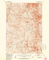
1950 Map of Monument Ridge
USGS Topo · Published 1954About this map
Vigilante Experimental Range and the Beaverhead National Forest dominate this mid-century high-country landscape, where the Gravelly Range and Monument Ridge divide the waters of the upper Missouri River Basin. The area is defined by its seasonal grazing and forest management infrastructure, rather than permanent towns. Clusters of activity are found at Cottonwood Camp, Three Forks Cow Camp, and Williams Camp, which served as hubs for livestock and timber operations. A solitary Mine located in the western foothills suggests the region's mineral interests.
Find a feature on this map
97 named features on this map. Tap any name to fly to it.
Don’t see what you’re looking for? This feature index may not catch every label — zoom into the map to look around manually.
Map Details
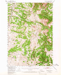
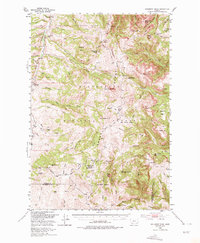
Editions of this 1950 Monument Ridge Map
4 editions found
Other maps of this area

1888 · Three Forks
USGS Topo · 1:250,000

1893 · Dillon
USGS Topo · 1:250,000

1894 · Three Forks
USGS Topo · 1:250,000

1895 · Three Forks
USGS Topo · 1:250,000

1947 · Bozeman
USGS Topo · 1:250,000

1948 · Bozeman
USGS Topo · 1:250,000

1949 · Varney
USGS Topo · 1:62,500

1950 · Cliff Lake
USGS Topo · 1:62,500

1950 · Cameron
USGS Topo · 1:62,500

1950 · Lower Red Rock Lake
USGS Topo · 1:62,500