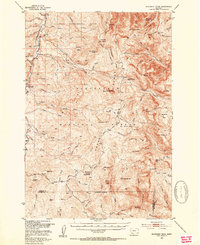
1950 Map of Monument Ridge
USGS Topo · Published 1954About this map
The Vigilante Experimental Range and Beaverhead National Forest dominate this high-elevation landscape in Madison and Beaverhead Counties. This mid-century survey records a working backcountry defined by seasonal livestock operations and federal management, featuring localized outposts such as Cottonwood Camp, Three Forks Cow Camp, and Reide Camp. The Gravelly Range Road provides the primary north-south spine for the region, navigating a complex terrain of summits including Black Butte, Cascade Mtn, and Lion Mountain. The headwaters of the Ruby River and Elk Creek carve through the deep basins, while the presence of the Black Butte Ranger Station and West Fork Ranger Station highlights the era's active forest administration. Evidence of past extraction appears in the form of a Mine (Inactive) located near the river basin, reflecting the area's history of mineral prospecting.
Find a feature on this map
83 named features on this map. Tap any name to fly to it.
Don’t see what you’re looking for? This feature index may not catch every label — zoom into the map to look around manually.
Map Details
Editions of this 1950 Monument Ridge Map
4 editions found

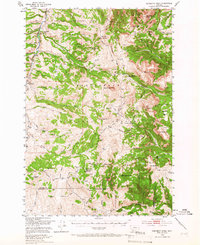
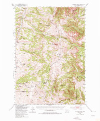
Other maps of this area

1888 · Three Forks
USGS Topo · 1:250,000

1893 · Dillon
USGS Topo · 1:250,000

1894 · Three Forks
USGS Topo · 1:250,000

1895 · Three Forks
USGS Topo · 1:250,000

1947 · Bozeman
USGS Topo · 1:250,000

1948 · Bozeman
USGS Topo · 1:250,000

1949 · Varney
USGS Topo · 1:62,500

1950 · Cliff Lake
USGS Topo · 1:62,500

1950 · Cameron
USGS Topo · 1:62,500

1950 · Lower Red Rock Lake
USGS Topo · 1:62,500