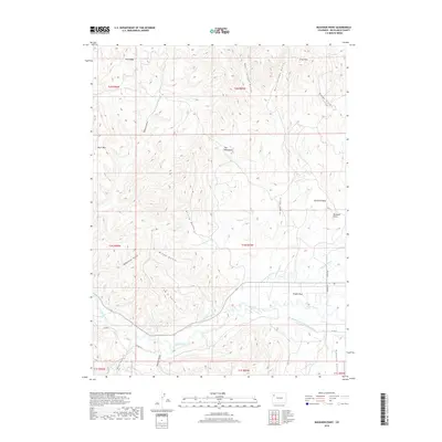
2019 Map of Buckskin Point
USGS Topo · Published 2019About this map
White River meanders through the southern half of this landscape, supporting a complex network of agricultural infrastructure including the Powell Park Ditch, Niblock Ditch, and the combined Hay Bretherton Ditch-Pease Ditch. These waterways sustain the alluvial flats of Powell Park, a notable break in the high-elevation terrain of Rio Blanco County. North of the river valley, the topography rises sharply toward Buckskin Mesa and its prominent southeastern overlook at Buckskin Point. The map documents a landscape defined by deep drainage ravines such as West Jordan Gulch and Grassy Gulch, which carve into northern highlands like Dick Ridge and the Gray Hills. Distinctive landmarks such as The Monument and Black Mtn provide essential orientation points within this high-desert environment.
Find a feature on this map
36 named features on this map. Tap any name to fly to it.
Don’t see what you’re looking for? This feature index may not catch every label — zoom into the map to look around manually.
Map Details
Editions of this 2019 Buckskin Point Map
This is the sole edition of this map. No revisions or reprints were ever made.
Other maps of this area

1906 · Grand Hogback
USGS Topo · 1:125,000

1907 · White River
USGS Topo · 1:125,000

1910 · Danforth Hills
USGS Topo · 1:125,000

1910 · Grand Hogback
USGS Topo · 1:125,000

1910 · White River
USGS Topo · 1:125,000

1912 · Meeker
USGS Topo · 1:62,500

1914 · Meeker
USGS Topo · 1:62,500

1952 · Greasewood Gulch
USGS Topo · 1:24,000

1952 · Segar Mountain
USGS Topo · 1:24,000

1954 · Vernal
USGS Topo · 1:250,000