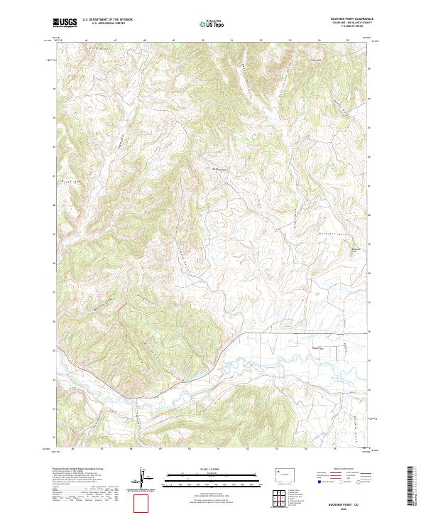
2022 Map of Buckskin Point
USGS Topo · Published 2022About this map
The White River corridor dominates the southern half of this landscape, defining the settlement patterns and agricultural irrigation of the valley near Powell Park. The reliance on local water rights is evident through an extensive system of named channels, including the Niblock Ditch, Powell Park Ditch, and Hay Bretherton Ditch. These waterways support the flatter basin areas beneath the high, arid overlooks of Buckskin Mesa and the prominent Buckskin Point.
Find a feature on this map
37 named features on this map. Tap any name to fly to it.
Don’t see what you’re looking for? This feature index may not catch every label — zoom into the map to look around manually.
Map Details
Editions of this 2022 Buckskin Point Map
This is the sole edition of this map. No revisions or reprints were ever made.
Other maps of this area

1906 · Grand Hogback
USGS Topo · 1:125,000

1907 · White River
USGS Topo · 1:125,000

1910 · Danforth Hills
USGS Topo · 1:125,000

1910 · Grand Hogback
USGS Topo · 1:125,000

1910 · White River
USGS Topo · 1:125,000

1912 · Meeker
USGS Topo · 1:62,500

1914 · Meeker
USGS Topo · 1:62,500

1952 · Greasewood Gulch
USGS Topo · 1:24,000

1952 · Segar Mountain
USGS Topo · 1:24,000

1954 · Vernal
USGS Topo · 1:250,000