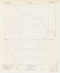
1960 Map of Bucksnort Mtn
USGS Topo · Published 1968About this map
Anza-Borrego Desert State Park dominates this desert landscape at the Riverside and San Diego county line, showing a complex network of canyons and peaks as they were documented in the late 1950s. The terrain is defined by the high elevations of Bucksnort Mountain and Combs Peak, transitioning into the broad reaches of Terwilliger Valley and Fig Tree Valley. This area serves as a critical watershed, with the North Fork and South Fork of drainage systems carved into the desert floor.
Find a feature on this map
34 named features on this map. Tap any name to fly to it.
Don’t see what you’re looking for? This feature index may not catch every label — zoom into the map to look around manually.
Map Details
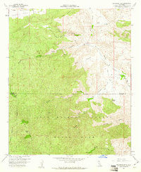
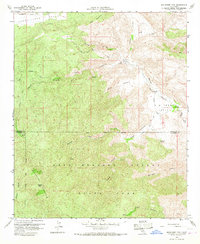
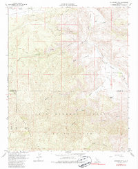
Editions of this 1960 Bucksnort Mtn Map
4 editions found
Other maps of this area

1901 · Southern California Sheet No. 1
USGS Topo · 1:250,000

1901 · San Jacinto
USGS Topo · 1:125,000

1903 · Ramona
USGS Topo · 1:125,000

1904 · Indio
USGS Topo · 1:125,000

1904 · Southern California Sheet No. 2
USGS Topo · 1:250,000

1904 · Southern California Sheet No. 1
USGS Topo · 1:250,000

1931 · Vallecito
USGS Topo · 1:125,000

1939 · Warner Springs
USGS Topo · 1:62,500

1940 · Hemet Reservoir
USGS Topo · 1:62,500

1941 · Toro Peak
USGS Topo · 1:62,500