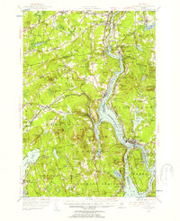
1955 Map of Bucksport
USGS Topo · Published 1957About this map
Mt Waldo and its prominent granite Quarry dominate the western banks of the Penobscot River in this mid-century survey of the Maine coast. The river serves as the central artery for the region, separating the settlements of Winterport and Bucksport while passing the fortifications at Fort Knox State Park. The landscape reflects a transition from river-based transport to rail and road, with the Bangor and Aroostook RR tracing the shore through Winterport Sta and the Blue Highway connecting rural crossroads.
Find a feature on this map
133 named features on this map. Tap any name to fly to it.
Don’t see what you’re looking for? This feature index may not catch every label — zoom into the map to look around manually.
Map Details
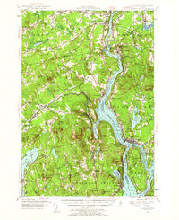
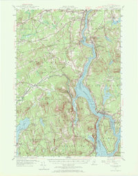
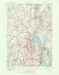
Editions of this 1955 Bucksport Map
4 editions found
Other maps of this area

1900 · Orland
USGS Topo · 1:62,500

1900 · Bucksport
USGS Topo · 1:62,500

1902 · Orono
USGS Topo · 1:62,500

1902 · Bucksport
USGS Topo · 1:62,500

1902 · Bangor
USGS Topo · 1:62,500

1902 · Castine
USGS Topo · 1:62,500

1904 · Castine
USGS Topo · 1:62,500

1904 · Bluehill
USGS Topo · 1:62,500

1905 · Penobscot Bay
USGS Topo · 1:125,000

1915 · Belfast
USGS Topo · 1:62,500