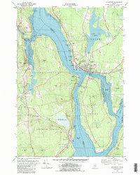
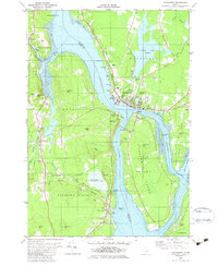
1982 Map of Bucksport
USGS Topo · Published 1982About this map
The Penobscot River serves as the dominant industrial and geographical artery of this coastal region, separating the steep terrain of Waldo Co from the developed hub of Bucksport. In the early 1980s, the landscape reflected a complex mix of heavy industry and preservation, notably the Industrial Waste Ponds situated near the riverbanks and the expansive Fort Knox State Park guarding the narrows. The map captures the specialized transport networks of the era, including the Bangor and Aroostook and Maine Central rail lines that serviced the riverfront. Away from the water, the geography rises into significant peaks like Heagan Mtn and Eustis Mtn, while the Sandy Point Game Management Area occupies the southern peninsula. For those tracing local history, the map preserves the locations of established landmarks such as the Prospect Ferry crossing and the Silver Lake Cem overlooking Silver Lake.
Find a feature on this map
72 named features on this map. Tap any name to fly to it.
Don’t see what you’re looking for? This feature index may not catch every label — zoom into the map to look around manually.
Map Details
Editions of this 1982 Bucksport Map
2 editions found
Other maps of this area

1900 · Orland
USGS Topo · 1:62,500

1900 · Bucksport
USGS Topo · 1:62,500

1902 · Bucksport
USGS Topo · 1:62,500

1902 · Castine
USGS Topo · 1:62,500

1904 · Castine
USGS Topo · 1:62,500

1904 · Bluehill
USGS Topo · 1:62,500

1905 · Penobscot Bay
USGS Topo · 1:125,000

1941 · Castine
USGS Topo · 1:62,500

1942 · Orland
USGS Topo · 1:62,500

1942 · Bucksport
USGS Topo · 1:62,500