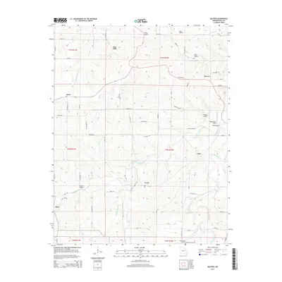
2015 Map of Bucyrus
USGS Topo · Published 2015About this map
Bucyrus serves as a central hub in this section of Texas County, situated where several local roads converge amidst the Ozark landscape. The area is defined by the winding course of the Big Piney River and the Little Piney River, which carve deep valleys such as Hungry Hollow and Emery Hollow into the terrain. Distinctive geological features like White Rock Bluff and The Narrows indicate the sharp relief of the river corridors, while Dripping Springs marks a specific point of interest along the water's edge.
Find a feature on this map
62 named features on this map. Tap any name to fly to it.
Don’t see what you’re looking for? This feature index may not catch every label — zoom into the map to look around manually.
Map Details
Editions of this 2015 Bucyrus Map
This is the sole edition of this map. No revisions or reprints were ever made.
Other maps of this area

1941 · Bado
USGS Topo · 1:62,500

1943 · Bado
USGS Topo · 1:62,500

1945 · Clear Springs
USGS Topo · 1:62,500

1948 · Clear Springs
USGS Topo · 1:62,500

1949 · Rolla
USGS Topo · 1:250,000

1951 · Prescott
USGS Topo · 1:24,000

1951 · Houston
USGS Topo · 1:24,000

1951 · Cabool NW
USGS Topo · 1:24,000

1951 · Cabool NE
USGS Topo · 1:24,000

1951 · Cabool
USGS Topo · 1:62,500