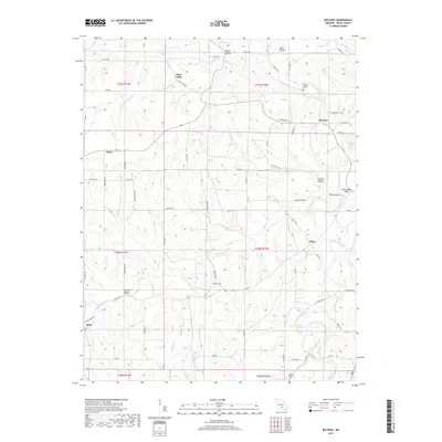
2017 Map of Bucyrus
USGS Topo · Published 2017About this map
Bucyrus and the surrounding rural communities of Texas County are defined by a landscape of deep hollows and winding waterways. The Big Piney River flows through the eastern portion of the area, creating distinctive landmarks such as The Narrows and the White Rock Bluff. The river's path is mirrored by its tributary, the Little Piney River, which cuts across the central section near Clara. These drainages have historically dictated the placement of small settlements like Dykes and Bado, often situated near springs and creek junctions.
Find a feature on this map
68 named features on this map. Tap any name to fly to it.
Don’t see what you’re looking for? This feature index may not catch every label — zoom into the map to look around manually.
Map Details
Editions of this 2017 Bucyrus Map
This is the sole edition of this map. No revisions or reprints were ever made.
Other maps of this area

1941 · Bado
USGS Topo · 1:62,500

1943 · Bado
USGS Topo · 1:62,500

1945 · Clear Springs
USGS Topo · 1:62,500

1948 · Clear Springs
USGS Topo · 1:62,500

1949 · Rolla
USGS Topo · 1:250,000

1951 · Prescott
USGS Topo · 1:24,000

1951 · Houston
USGS Topo · 1:24,000

1951 · Cabool NW
USGS Topo · 1:24,000

1951 · Cabool NE
USGS Topo · 1:24,000

1951 · Cabool
USGS Topo · 1:62,500