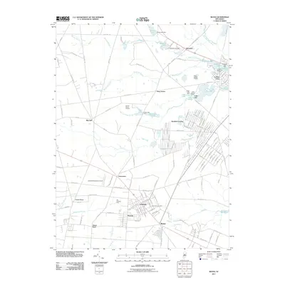
2011 Map of Buena
USGS Topo · Published 2011About this map
Landisville, Minotola, and Buena form a dense corridor of development in this southern New Jersey landscape, anchored by the Saint Marys Cemetery and a network of arterial roads. The region's history of agricultural and aviation activity is evident in the multiple private landing strips, such as the Sandor Farms Airstrip and Als Landing Strip, alongside the larger Vineland-Downstown Airport. Water resources and early industry are reflected in the numerous named bodies of water and infrastructure, including the Pancoast Mill Pond and Cains Mill Pond Dam. The northern portion of the map transitions into more rural clusters like Berryland and Piney Hollow, where the Great Egg Harbor River and its various branches, such as Hospitality Branch, shape the drainage and settlement patterns of the Pine Barrens fringe.
Find a feature on this map
166 named features on this map. Tap any name to fly to it.
Don’t see what you’re looking for? This feature index may not catch every label — zoom into the map to look around manually.
Map Details
Editions of this 2011 Buena Map
This is the sole edition of this map. No revisions or reprints were ever made.
Other maps of this area

1890 · Hammonton
USGS Topo · 1:62,500

1890 · Tuckahoe
USGS Topo · 1:62,500

1890 · Bridgeton
USGS Topo · 1:62,500

1890 · Glassboro
USGS Topo · 1:62,500

1893 · Tuckahoe
USGS Topo · 1:62,500

1894 · Hammonton
USGS Topo · 1:62,500

1894 · Bridgeton
USGS Topo · 1:62,500

1898 · Glassboro
USGS Topo · 1:62,500

1898 · Hammonton
USGS Topo · 1:62,500

1899 · Vineland
USGS Topo · 1:125,000