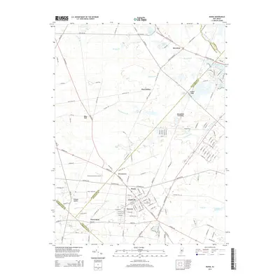
2014 Map of Buena
USGS Topo · Published 2014About this map
Landisville and Minotola form a dense residential and commercial core in the southern portion of this region, where the grid of streets meets the crossing of major thoroughfares. This area, historically shaped by the convergence of rail and road, is centered around Buena and the nearby Saint Marys Cem. The landscape transitions northward into a more dispersed pattern of rural settlements and agricultural plots, defined by the winding paths of Hospitality Br and the Great Egg Harbor River at the Gloucester and Atlantic county line.
Find a feature on this map
153 named features on this map. Tap any name to fly to it.
Don’t see what you’re looking for? This feature index may not catch every label — zoom into the map to look around manually.
Map Details
Editions of this 2014 Buena Map
This is the sole edition of this map. No revisions or reprints were ever made.
Other maps of this area

1890 · Hammonton
USGS Topo · 1:62,500

1890 · Tuckahoe
USGS Topo · 1:62,500

1890 · Bridgeton
USGS Topo · 1:62,500

1890 · Glassboro
USGS Topo · 1:62,500

1893 · Tuckahoe
USGS Topo · 1:62,500

1894 · Hammonton
USGS Topo · 1:62,500

1894 · Bridgeton
USGS Topo · 1:62,500

1898 · Glassboro
USGS Topo · 1:62,500

1898 · Hammonton
USGS Topo · 1:62,500

1899 · Vineland
USGS Topo · 1:125,000