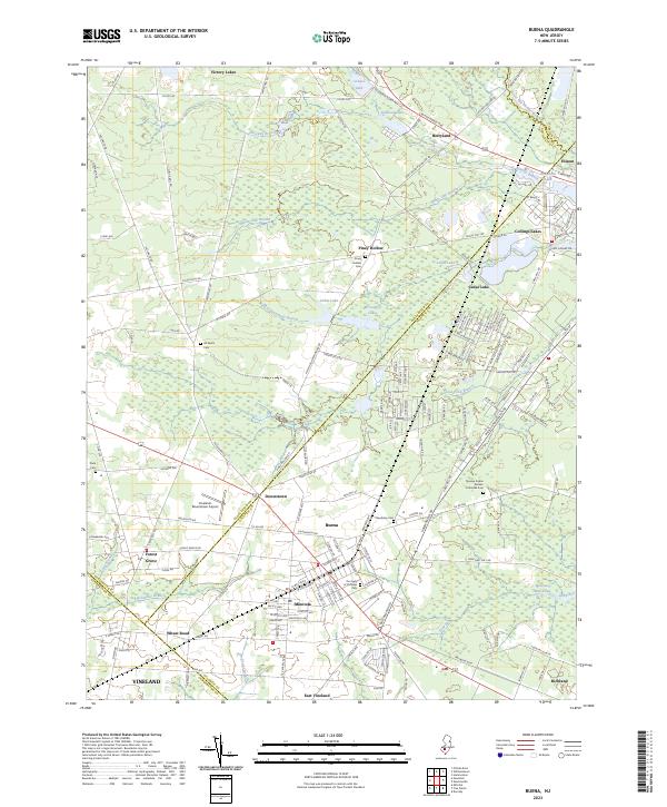
2023 Map of Buena
USGS Topo · Published 2023About this map
Buena and the surrounding South Jersey Pinelands appear here in their modern layout, where agriculture and small-town residential pockets intersect along the border of Atlantic, Gloucester, and Cumberland counties. The landscape is defined by the headwaters of the Great Egg Harbor River and a complex network of branches, including Faraway Branch and White Oak Branch, which feed into local landmarks like Cedar Lake. The area's cultural history is visible through its varied religious and community sites, such as the Novaya Kuban Russian Orthodox Cem and Our Lady of Victories Cem.
Find a feature on this map
176 named features on this map. Tap any name to fly to it.
Don’t see what you’re looking for? This feature index may not catch every label — zoom into the map to look around manually.
Map Details
Editions of this 2023 Buena Map
This is the sole edition of this map. No revisions or reprints were ever made.
Other maps of this area

1890 · Hammonton
USGS Topo · 1:62,500

1890 · Tuckahoe
USGS Topo · 1:62,500

1890 · Bridgeton
USGS Topo · 1:62,500

1890 · Glassboro
USGS Topo · 1:62,500

1893 · Tuckahoe
USGS Topo · 1:62,500

1894 · Hammonton
USGS Topo · 1:62,500

1894 · Bridgeton
USGS Topo · 1:62,500

1898 · Glassboro
USGS Topo · 1:62,500

1898 · Hammonton
USGS Topo · 1:62,500

1899 · Vineland
USGS Topo · 1:125,000