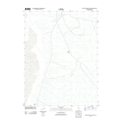
2011 Map of Buena Vista Hills South
USGS Topo · Published 2011About this map
Old Emigrant Trl cuts through the arid landscape of Churchill County, following a historic path used by travelers long before modern infrastructure reached this part of Nevada. This 2011 survey by the U.S. Geological Survey illustrates the intersection of ancient transit corridors with more recent 4WD tracks and state-maintained roads. The terrain is defined by dramatic drainage patterns and desert canyons, most notably Copper Kettle Canyon and Grimes Canyon. The layout of the roads suggests a land primarily used for utility and passage, where the sparse labels reflect the quiet, unpopulated character of the high desert environment east of the Humboldt Sink.
Find a feature on this map
3 named features on this map. Tap any name to fly to it.
Don’t see what you’re looking for? This feature index may not catch every label — zoom into the map to look around manually.
Map Details
Editions of this 2011 Buena Vista Hills South Map
This is the sole edition of this map. No revisions or reprints were ever made.
Other maps of this area

1908 · Carson Sink
USGS Topo · 1:250,000

1910 · Carson Sink
USGS Topo · 1:250,000

1931 · Lovelock
USGS Topo · 1:250,000

1935 · Lovelock
USGS Topo · 1:250,000

1954 · Buffalo Mtn
USGS Topo · 1:62,500

1955 · Lovelock
USGS Topo · 1:250,000

1956 · Lovelock
USGS Topo · 1:62,500

1957 · Reno
USGS Topo · 1:250,000

1959 · Lovelock
USGS Topo · 1:250,000

1959 · Reno
USGS Topo · 1:250,000