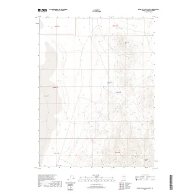
2018 Map of Buena Vista Hills South
USGS Topo · Published 2018About this map
Carson Sink dominates the western edge of this Nevada landscape, where the flat, expansive basin floor meets the rising elevations of the Great Basin. This 2018 survey documents the arid transition from the low-lying alkali sink to the complex topography of the Stillwater Range in the southeast. The interior is defined by deep incisions like Copper Kettle Canyon and Grimes Canyon, which provide natural drainage routes from the higher peaks down toward the desert floor.
Find a feature on this map
11 named features on this map. Tap any name to fly to it.
Don’t see what you’re looking for? This feature index may not catch every label — zoom into the map to look around manually.
Map Details
Editions of this 2018 Buena Vista Hills South Map
This is the sole edition of this map. No revisions or reprints were ever made.
Other maps of this area

1908 · Carson Sink
USGS Topo · 1:250,000

1910 · Carson Sink
USGS Topo · 1:250,000

1931 · Lovelock
USGS Topo · 1:250,000

1935 · Lovelock
USGS Topo · 1:250,000

1954 · Buffalo Mtn
USGS Topo · 1:62,500

1955 · Lovelock
USGS Topo · 1:250,000

1956 · Lovelock
USGS Topo · 1:62,500

1957 · Reno
USGS Topo · 1:250,000

1959 · Lovelock
USGS Topo · 1:250,000

1959 · Reno
USGS Topo · 1:250,000