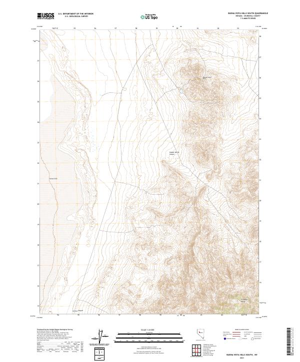
2021 Map of Buena Vista Hills South
USGS Topo · Published 2021About this map
Carson Sink dominates the western portion of this high-desert landscape in Churchill County. This low-lying drainage basin defines the terrain's hydrology, set against the rising slopes of the Stillwater Range in the southeast and the Buena Vista Hills to the northeast. The map provides a clear look at the topographical transition from the sink's edge into the interior highlands, where features like Copper Kettle Canyon cut through the arid uplands. This area remains largely defined by its natural drainage patterns and public land divisions, reflecting the characteristic open character of the Great Basin during the early twenty-first century.
Find a feature on this map
10 named features on this map. Tap any name to fly to it.
Don’t see what you’re looking for? This feature index may not catch every label — zoom into the map to look around manually.
Map Details
Editions of this 2021 Buena Vista Hills South Map
This is the sole edition of this map. No revisions or reprints were ever made.
Other maps of this area

1908 · Carson Sink
USGS Topo · 1:250,000

1910 · Carson Sink
USGS Topo · 1:250,000

1931 · Lovelock
USGS Topo · 1:250,000

1935 · Lovelock
USGS Topo · 1:250,000

1954 · Buffalo Mtn
USGS Topo · 1:62,500

1955 · Lovelock
USGS Topo · 1:250,000

1956 · Lovelock
USGS Topo · 1:62,500

1957 · Reno
USGS Topo · 1:250,000

1959 · Lovelock
USGS Topo · 1:250,000

1959 · Reno
USGS Topo · 1:250,000