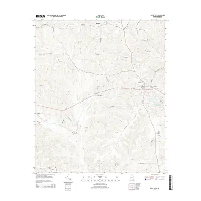
2014 Map of Buena Vista
USGS Topo · Published 2014About this map
Buena Vista serves as the focal point of this Marion County landscape, showing a structured grid of streets including Miller Ave and Music Row. The surrounding rural character is defined by a network of drainage ditches and creeks, most notably Kinchafonee Cr and the winding Lanahassee Cr. To the north, the terrain transitions into the Oochee Bottom, while the eastern portion of the map is punctuated by water features like Bebolu Lake and the Walker Williams Lakes.
Find a feature on this map
72 named features on this map. Tap any name to fly to it.
Don’t see what you’re looking for? This feature index may not catch every label — zoom into the map to look around manually.
Map Details
Editions of this 2014 Buena Vista Map
This is the sole edition of this map. No revisions or reprints were ever made.
Other maps of this area

1949 · Glen Alta
USGS Topo · 1:24,000

1949 · Buena Vista NW
USGS Topo · 1:24,000

1950 · Buena Vista NE
USGS Topo · 1:24,000

1950 · Buena Vista
USGS Topo · 1:24,000

1950 · Buena Vista
USGS Topo · 1:62,500
1955 · Buena Vista NW
USGS Topo · 1:24,000

1955 · Buena Vista
USGS Topo · 1:24,000

1955 · Buena Vista NE
USGS Topo · 1:24,000
1955 · Glen Alta
USGS Topo · 1:24,000
1955 · Buena Vista
USGS Topo · 1:62,500