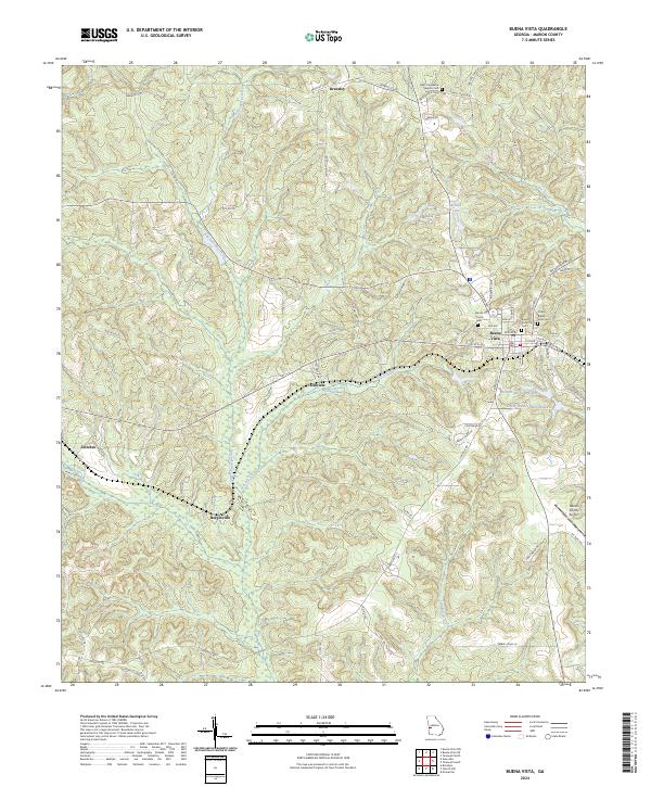
2024 Map of Buena Vista
USGS Topo · Published 2024About this map
Buena Vista serves as the focal point for this Marion County landscape, showing a detailed street grid that includes the City of Buena Vista Cem and several community churches. The surrounding countryside is characterized by a network of rural settlements like Brantley and Berginville, connected by a web of county roads such as Brantley Rd and Mud Ridge Rd.
Find a feature on this map
64 named features on this map. Tap any name to fly to it.
Don’t see what you’re looking for? This feature index may not catch every label — zoom into the map to look around manually.
Map Details
Editions of this 2024 Buena Vista Map
This is the sole edition of this map. No revisions or reprints were ever made.
Other maps of this area
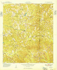
1949 · Glen Alta
USGS Topo · 1:24,000
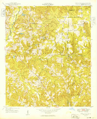
1949 · Buena Vista NW
USGS Topo · 1:24,000
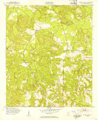
1950 · Buena Vista NE
USGS Topo · 1:24,000
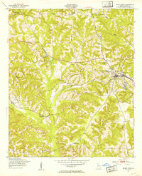
1950 · Buena Vista
USGS Topo · 1:24,000
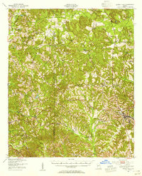
1950 · Buena Vista
USGS Topo · 1:62,500
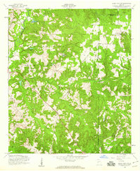
1955 · Buena Vista NW
USGS Topo · 1:24,000
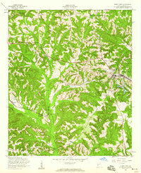
1955 · Buena Vista
USGS Topo · 1:24,000
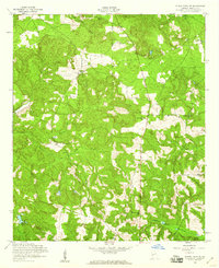
1955 · Buena Vista NE
USGS Topo · 1:24,000
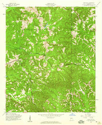
1955 · Glen Alta
USGS Topo · 1:24,000
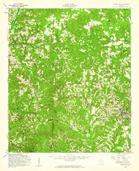
1955 · Buena Vista
USGS Topo · 1:62,500