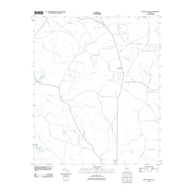
2011 Map of Buena Vista NE
USGS Topo · Published 2011About this map
Oakland serves as the central hub for this rural landscape in western Georgia, where a dense network of secondary roads and family-named routes defines the local geography. The terrain is deeply etched by a complex drainage system, most notably Kinchafoonee Creek and Pine Knot Creek, which wind through the countryside alongside smaller tributaries like Gin Creek and Fort Perry Creek. These waterways were central to the area's development, as evidenced by names such as Parkers Mill Creek and Parkers Mill Road, which hint at the industrial history of local mills. Several water impoundments are prominent, including Lambert Lake, Heards Lake, and Melton Lake, each marked with their respective structures like Lambert Lake Dam. The road network, including Woody Stubbs Road and Dog Track Road, reflects the area's transition into the early 21st century while maintaining a character rooted in its agricultural and rural past.
Find a feature on this map
47 named features on this map. Tap any name to fly to it.
Don’t see what you’re looking for? This feature index may not catch every label — zoom into the map to look around manually.
Map Details
Editions of this 2011 Buena Vista NE Map
This is the sole edition of this map. No revisions or reprints were ever made.
Other maps of this area

1907 · Talbotton
USGS Topo · 1:125,000

1949 · Glen Alta
USGS Topo · 1:24,000

1949 · Upatoi
USGS Topo · 1:24,000

1949 · Buena Vista NW
USGS Topo · 1:24,000

1950 · Geneva
USGS Topo · 1:24,000

1950 · Buena Vista NE
USGS Topo · 1:24,000

1950 · Buena Vista
USGS Topo · 1:24,000

1950 · Buena Vista
USGS Topo · 1:62,500

1950 · Talbotton
USGS Topo · 1:62,500
1955 · Buena Vista NW
USGS Topo · 1:24,000