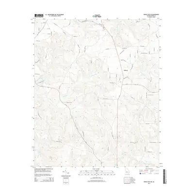
2014 Map of Buena Vista NE
USGS Topo · Published 2014About this map
Oakland serves as the primary settlement hub in this part of Marion County, where the north-south corridor of Ga-41 intersects with local routes like Oakland Church Rd. The landscape is defined by a dense network of tributaries including Kinchafonee Cr and Parkers Mill Cr, which carve through the terrain before feeding into larger regional basins. Local industry and land use are reflected in the various reservoirs such as Heards Lakes and Melton Lake in the southern reaches, and Lambert Lake to the west. This 2014 survey documents a rural Georgia landscape where established family and community names like Palmer Cemetery Rd and Fort Perry Rd provide clear markers for genealogists and local historians tracing the evolution of property and parish boundaries.
Find a feature on this map
71 named features on this map. Tap any name to fly to it.
Don’t see what you’re looking for? This feature index may not catch every label — zoom into the map to look around manually.
Map Details
Editions of this 2014 Buena Vista NE Map
This is the sole edition of this map. No revisions or reprints were ever made.
Other maps of this area

1907 · Talbotton
USGS Topo · 1:125,000

1949 · Glen Alta
USGS Topo · 1:24,000

1949 · Upatoi
USGS Topo · 1:24,000

1949 · Buena Vista NW
USGS Topo · 1:24,000

1950 · Geneva
USGS Topo · 1:24,000

1950 · Buena Vista NE
USGS Topo · 1:24,000

1950 · Buena Vista
USGS Topo · 1:24,000

1950 · Buena Vista
USGS Topo · 1:62,500

1950 · Talbotton
USGS Topo · 1:62,500
1955 · Buena Vista NW
USGS Topo · 1:24,000