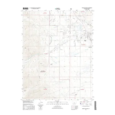
2016 Map of Buena Vista West
USGS Topo · Published 2016About this map
Buena Vista serves as the gateway to the high country in this 2016 survey, where the town's grid meets the dramatic eastern slopes of the Collegiate Peaks. The landscape is defined by an intricate network of water management, with the McKenna Ditch, Mary Bray Ditch, and Arkansas Valley Canal channeling mountain runoff toward the valley floor. To the west, the San Isabel National Forest encompasses landmarks such as Bald Mtn and the therapeutic Cottonwood Hot Springs. This map captures the intersection of historical transit and modern utility, showing the route of the D & R G W RR alongside the Central Colorado Regional Airport. Genealogists can locate Mount Olivet Cem on the town's edge, while hikers can trace the Colorado Trail as it winds through the foothills above Middle Cottonwood Cr.
Find a feature on this map
122 named features on this map. Tap any name to fly to it.
Don’t see what you’re looking for? This feature index may not catch every label — zoom into the map to look around manually.
Map Details
Editions of this 2016 Buena Vista West Map
This is the sole edition of this map. No revisions or reprints were ever made.
Other maps of this area

1940 · Garfield
USGS Topo · 1:62,500

1945 · Garfield
USGS Topo · 1:62,500

1955 · Buena Vista
USGS Topo · 1:62,500

1955 · Mount Harvard
USGS Topo · 1:62,500

1956 · Poncha Springs
USGS Topo · 1:62,500

1956 · Montrose
USGS Topo · 1:250,000

1959 · Montrose
USGS Topo · 1:250,000

1960 · Montrose
USGS Topo · 1:250,000

1968 · Montrose
USGS Topo · 1:250,000

1982 · Buena Vista West
USGS Topo · 1:24,000