
1982 Map of Buena Vista West
USGS Topo · Published 1983About this map
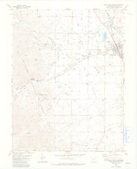
The Arkansas River serves as the primary artery for this portion of Chaffee County, defining the eastern edge of Buena Vista where the Denver and Rio Grande Western Railroad tracks follow the river's path. The landscape west of town transitions quickly into the high country of the San Isabel National Forest, marked by peaks like Bald Mountain and the winding course of Cottonwood Creek. A complex system of water management is evident through numerous historic waterways including the Mary Bray Ditch and Arkansas Valley Canal, which supported the area's agricultural and industrial development. Local landmarks such as the Cottonwood Hot Springs and the Mt Olivet Cem provide specific points of interest for genealogists and local historians tracing the settlement patterns of this mountain community. The presence of an Old Railroad Grade and several prospect pits suggests the area's history of resource extraction and changing transportation needs.
Find a feature on this map
55 named features on this map. Tap any name to fly to it.
Don’t see what you’re looking for? This feature index may not catch every label — zoom into the map to look around manually.
Map Details
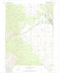
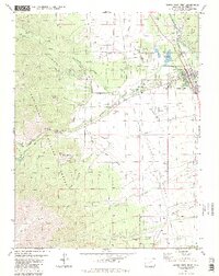
Editions of this 1982 Buena Vista West Map
4 editions found
Other maps of this area

1940 · Garfield
USGS Topo · 1:62,500

1945 · Garfield
USGS Topo · 1:62,500

1955 · Buena Vista
USGS Topo · 1:62,500

1955 · Mount Harvard
USGS Topo · 1:62,500

1956 · Poncha Springs
USGS Topo · 1:62,500

1956 · Montrose
USGS Topo · 1:250,000

1959 · Montrose
USGS Topo · 1:250,000

1960 · Montrose
USGS Topo · 1:250,000

1968 · Montrose
USGS Topo · 1:250,000
1982 · Marmot Peak
USGS Topo · 1:24,000