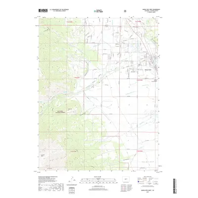
2019 Map of Buena Vista West
USGS Topo · Published 2019About this map
Buena Vista sits at the eastern edge of this landscape, where the high peaks of the Collegiate Peaks meet the Arkansas River valley. The map documents an intricate network of water management, vital for the region's agricultural and municipal needs, featuring the Arkansas Valley Canal, Johnson Ditch, and Silver Cr Ditch. These waterways cross the terrain alongside natural features like S Cottonwood Cr and Maxwell Cr, illustrating how the town’s development has long been tied to managing the snowmelt and runoff from the high country.
Find a feature on this map
121 named features on this map. Tap any name to fly to it.
Don’t see what you’re looking for? This feature index may not catch every label — zoom into the map to look around manually.
Map Details
Editions of this 2019 Buena Vista West Map
This is the sole edition of this map. No revisions or reprints were ever made.
Other maps of this area

1940 · Garfield
USGS Topo · 1:62,500

1945 · Garfield
USGS Topo · 1:62,500

1955 · Buena Vista
USGS Topo · 1:62,500

1955 · Mount Harvard
USGS Topo · 1:62,500

1956 · Poncha Springs
USGS Topo · 1:62,500

1956 · Montrose
USGS Topo · 1:250,000

1959 · Montrose
USGS Topo · 1:250,000

1960 · Montrose
USGS Topo · 1:250,000

1968 · Montrose
USGS Topo · 1:250,000

1982 · Buena Vista West
USGS Topo · 1:24,000