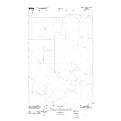
2011 Map of Buffalo Creek
USGS Topo · Published 2011About this map
Redwater River winds through this McCone County landscape, a vital water source in a region defined by its complex drainage systems. The convergence of North Fork Buffalo Creek and South Fork Buffalo Creek into the main branch of Buffalo Creek illustrates the intricate natural irrigation patterns that support this part of Montana. Human interaction with the land is marked by water management features such as the Dean S Number 1 Dam and the Switzer Reservoir located in the northeast. Transportation is limited to functional routes like the County Rd and Road 422, which connect the scattered agricultural or ranching interests across the drainages of Duck Creek, Spring Creek, and Corral Creek.
Find a feature on this map
11 named features on this map. Tap any name to fly to it.
Don’t see what you’re looking for? This feature index may not catch every label — zoom into the map to look around manually.
Map Details
Editions of this 2011 Buffalo Creek Map
This is the sole edition of this map. No revisions or reprints were ever made.
Other maps of this area

1954 · Glendive
USGS Topo · 1:250,000

1957 · Glendive
USGS Topo · 1:250,000

1958 · Glendive
USGS Topo · 1:250,000

1982 · Circle
USGS Topo · 1:100,000

1983 · Hudiburgh Reservoir
USGS Topo · 1:24,000

1983 · Woodworth Hill
USGS Topo · 1:24,000

1983 · Buffalo Creek NE
USGS Topo · 1:24,000

1983 · Buffalo Creek
USGS Topo · 1:24,000

1983 · Circle
USGS Topo · 1:24,000

1983 · Beery Reservoir
USGS Topo · 1:24,000