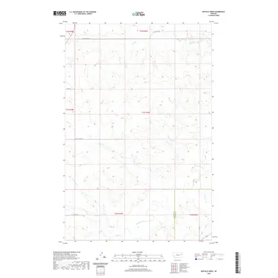
2020 Map of Buffalo Creek
USGS Topo · Published 2020About this map
Redwater River flows through the southern portion of this high plains landscape, where the drainage networks of the Big Dry country define the terrain. The map traces the convergence of various watercourses, including Buffalo Cr and its northern and southern tributaries, N Fork Buffalo Cr and S Fork Buffalo Cr. These seasonal and perennial streams carved the draws and coulees typical of the eastern Montana breaklands, providing critical water sources for the cattle ranching operations that have long anchored the local economy.
Find a feature on this map
19 named features on this map. Tap any name to fly to it.
Don’t see what you’re looking for? This feature index may not catch every label — zoom into the map to look around manually.
Map Details
Editions of this 2020 Buffalo Creek Map
This is the sole edition of this map. No revisions or reprints were ever made.
Other maps of this area

1954 · Glendive
USGS Topo · 1:250,000

1957 · Glendive
USGS Topo · 1:250,000

1958 · Glendive
USGS Topo · 1:250,000

1982 · Circle
USGS Topo · 1:100,000

1983 · Hudiburgh Reservoir
USGS Topo · 1:24,000

1983 · Woodworth Hill
USGS Topo · 1:24,000

1983 · Buffalo Creek NE
USGS Topo · 1:24,000

1983 · Buffalo Creek
USGS Topo · 1:24,000

1983 · Circle
USGS Topo · 1:24,000

1983 · Beery Reservoir
USGS Topo · 1:24,000