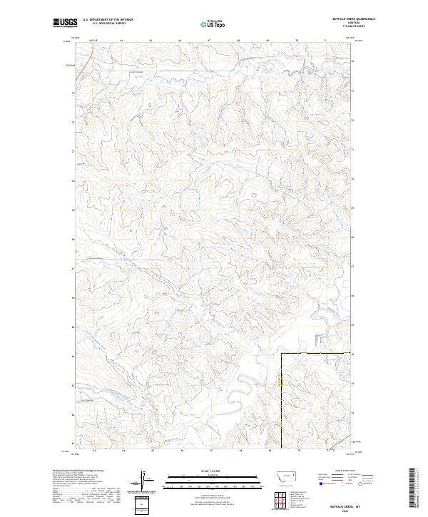
2024 Map of Buffalo Creek
USGS Topo · Published 2024About this map
The Redwater River and its intricate network of drainage channels define this landscape along the border of McCone and Dawson counties. This portion of eastern Montana is characterized by a high-density system of ephemeral waterways, including the North Fork Buffalo Creek and South Fork Buffalo Creek, which converge as they move toward the southeastern corner of the quadrangle. The map reveals a remote ranching and grazing environment where infrastructure is focused on water management and basic access, evidenced by Switzer Reservoir in the northeast and a sparse grid of gravel routes such as E Duck Creek Rd and Buffalo Creek Rd. These named roads and reservoirs represent the primary human imprints on a territory dominated by the natural erosive patterns of the Buffalo Creek watershed.
Find a feature on this map
19 named features on this map. Tap any name to fly to it.
Don’t see what you’re looking for? This feature index may not catch every label — zoom into the map to look around manually.
Map Details
Editions of this 2024 Buffalo Creek Map
This is the sole edition of this map. No revisions or reprints were ever made.
Other maps of this area

1954 · Glendive
USGS Topo · 1:250,000

1957 · Glendive
USGS Topo · 1:250,000

1958 · Glendive
USGS Topo · 1:250,000

1982 · Circle
USGS Topo · 1:100,000

1983 · Hudiburgh Reservoir
USGS Topo · 1:24,000

1983 · Woodworth Hill
USGS Topo · 1:24,000

1983 · Buffalo Creek NE
USGS Topo · 1:24,000

1983 · Buffalo Creek
USGS Topo · 1:24,000

1983 · Circle
USGS Topo · 1:24,000

1983 · Beery Reservoir
USGS Topo · 1:24,000