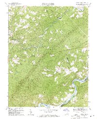
1969 Map of Buffalo Ridge
USGS Topo · Published 1971About this map
Buffalo Ridge stretches across this portion of central Virginia, where the James River and Tye River meet at the border of Amherst and Nelson counties. The landscape is defined by the winding course of the Buffalo River and numerous smaller tributaries like Christian Mill Creek and Allens Creek. Small rural communities and transport hubs are scattered throughout the hills, including the rail-side settlement of Riverville and the hamlet of Piedmont.
Find a feature on this map
29 named features on this map. Tap any name to fly to it.
Don’t see what you’re looking for? This feature index may not catch every label — zoom into the map to look around manually.
Map Details
Editions of this 1969 Buffalo Ridge Map
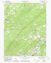
2 editions found
Other maps of this area

1892 · Lynchburg
USGS Topo · 1:125,000

1892 · Buckingham
USGS Topo · 1:125,000

1892 · Appomattox
USGS Topo · 1:125,000

1894 · Lexington
USGS Topo · 1:125,000

1935 · Amherst
USGS Topo · 1:48,000

1939 · Amherst
USGS Topo · 1:62,500

1944 · Lynchburg
USGS Topo · 1:62,500

1947 · Roanoke
USGS Topo · 1:250,000

1950 · Amherst
USGS Topo · 1:62,500

1950 · Lynchburg
USGS Topo · 1:62,500