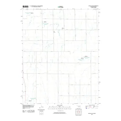
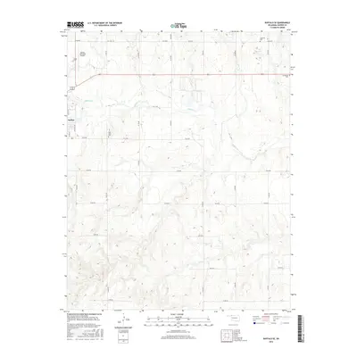
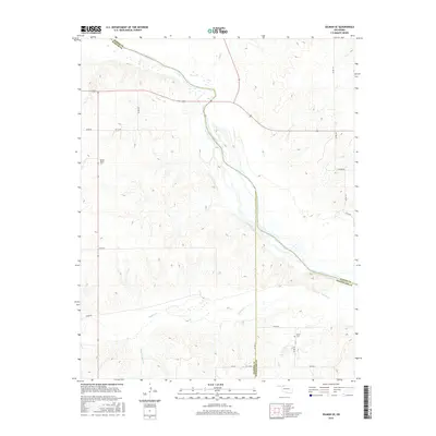
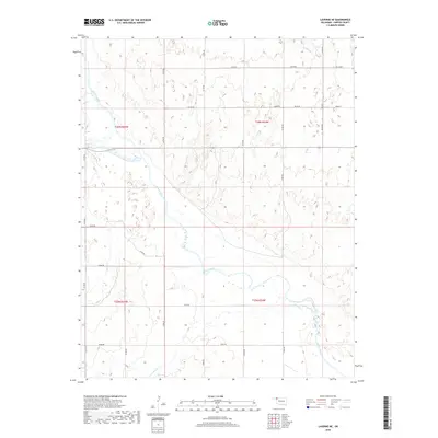
1970 Map of Buffalo SE
USGS Topo · Published 1973About this map
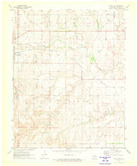
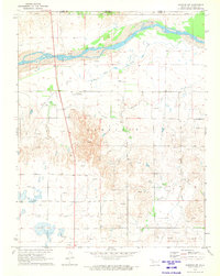
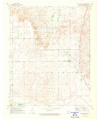
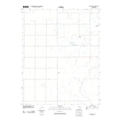
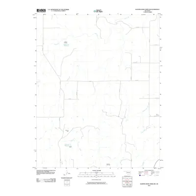
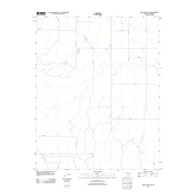
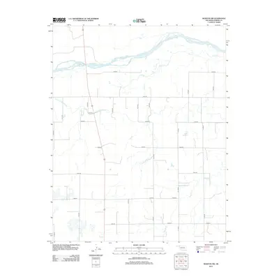
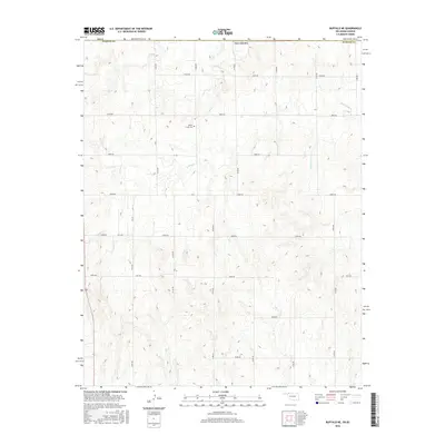
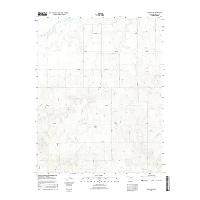
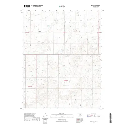
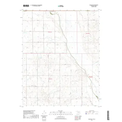
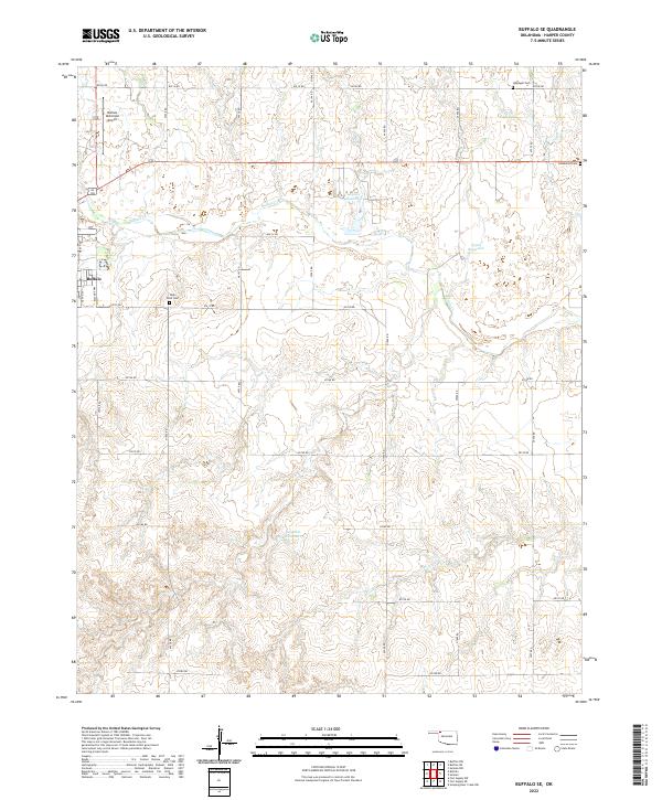
The town of Buffalo serves as the focal point for this western Oklahoma landscape, situated near the headwaters of Buffalo Creek. The regional transport network is dominated by the Atchison Topeka and Santa Fe railroad, which cuts a distinctive diagonal path across the rolling plains. Industrial activity of the early 1970s is evidenced by several extractive sites, including a Gravel Pit, a Caliche Pit, and a Gas Well, reflecting the area's reliance on geological resources. For family historians, the presence of the Hopewell Cem in the northeast and High Point Cem further south provides specific points of interest for genealogical research. The map also captures a small Airfield on the outskirts of the main settlement, highlighting local aviation infrastructure in Harper County during this era.
Find a feature on this map
16 named features on this map. Tap any name to fly to it.
Don’t see what you’re looking for? This feature index may not catch every label — zoom into the map to look around manually.
Map Details
Editions of this 1970 Buffalo SE Map
This is the sole edition of this map. No revisions or reprints were ever made.
Historical Maps of Buffalo Through Time
78 maps found
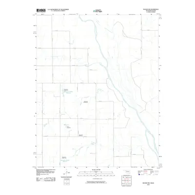
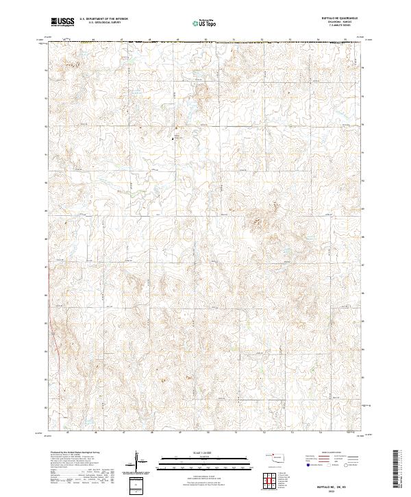
1970 Buffalo NE
Harper County, OK
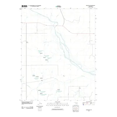
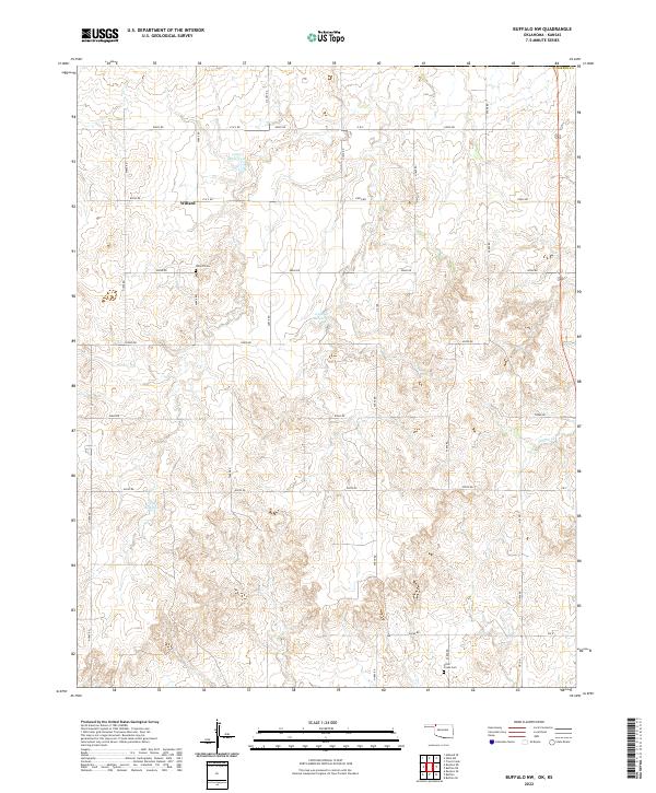
1970 Buffalo NW
Harper County, OK
1970 Buffalo SE
Harper County, OK
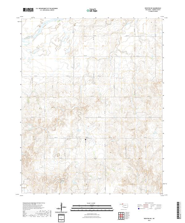
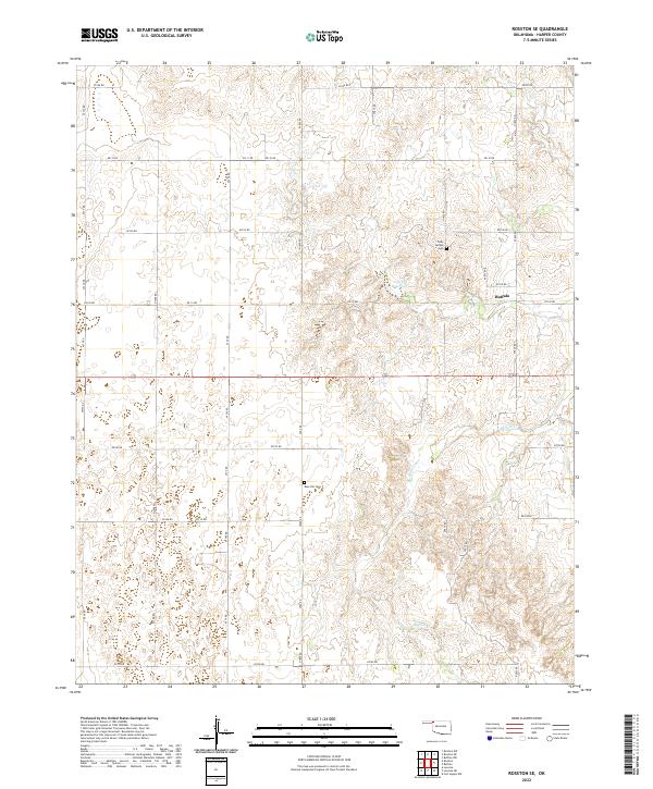
1970 Rosston NE
Harper County, OK
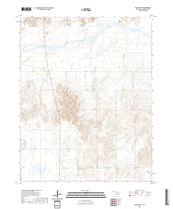
1970 Rosston NW
Harper County, OK
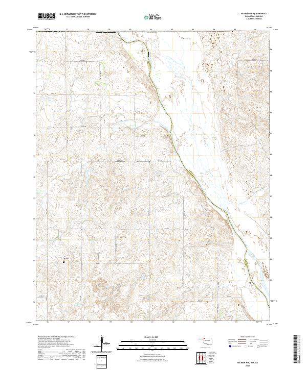
1970 Selman NW
Harper County, OK
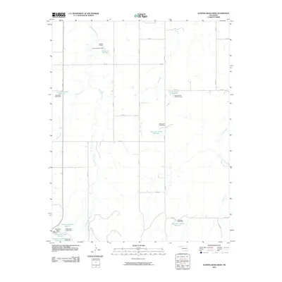
1970 Sleeping Bear Creek NW
Harper County, OK
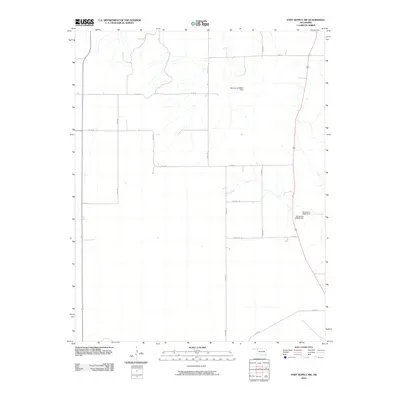
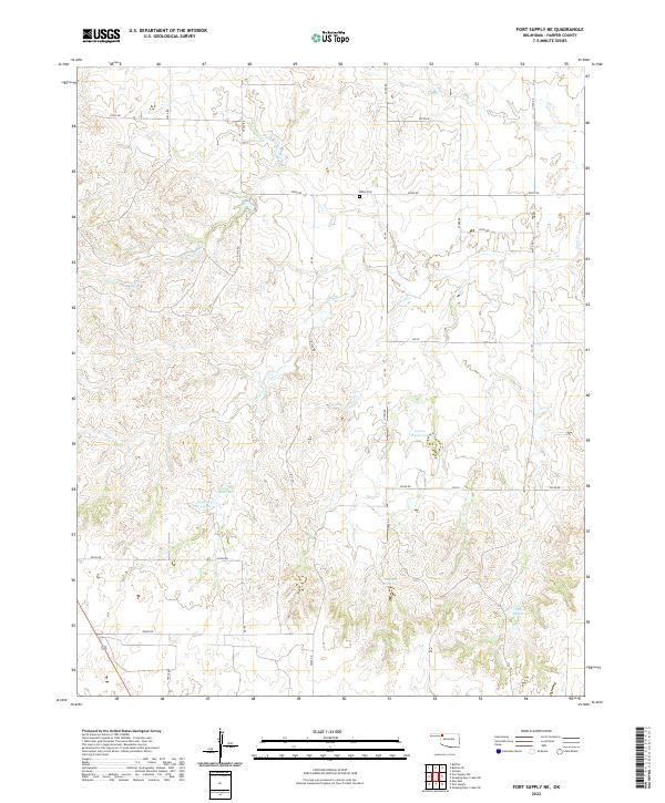
1971 Fort Supply NE
Harper County, OK
1971 Fort Supply NW
Harper County, OK

1971 Laverne NE
Harper County, OK
1971 Rosston SE
Harper County, OK
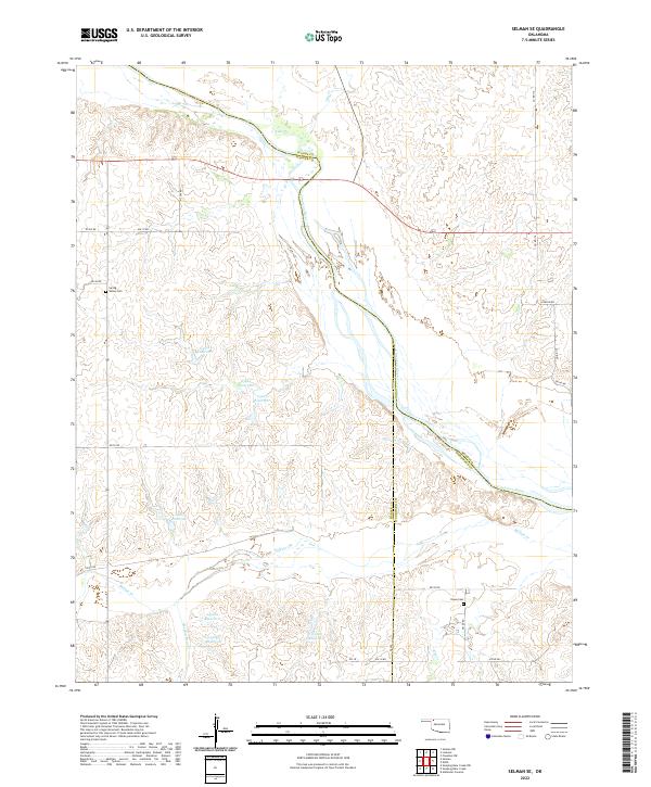
1971 Selman SE
Harper County, OK
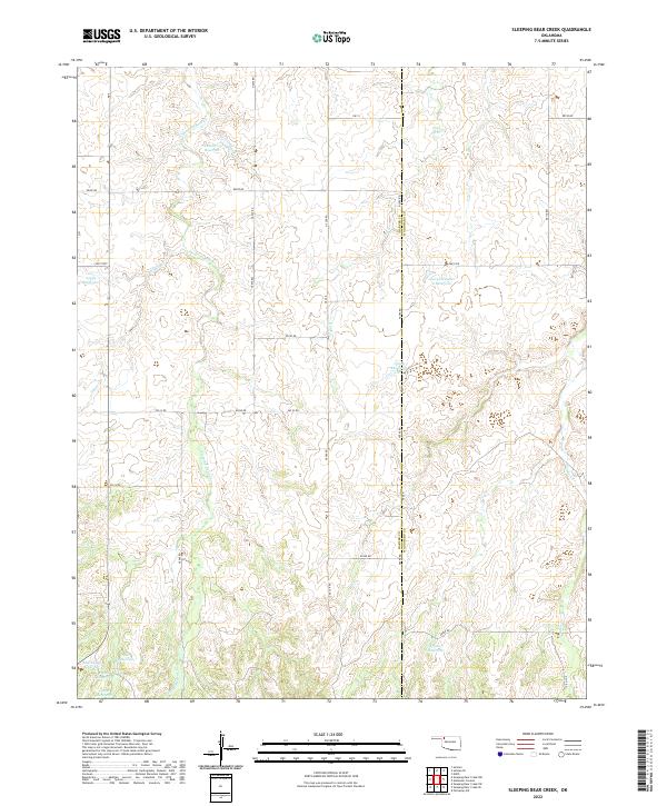
1971 Sleeping Bear Creek
Harper County, OK
2010 Buffalo NE
Harper County, OK
2010 Buffalo NW
Harper County, OK
2010 Buffalo SE
Harper County, OK
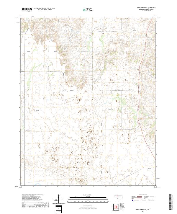
2010 Fort Supply NE
Harper County, OK
2010 Fort Supply NW
Harper County, OK
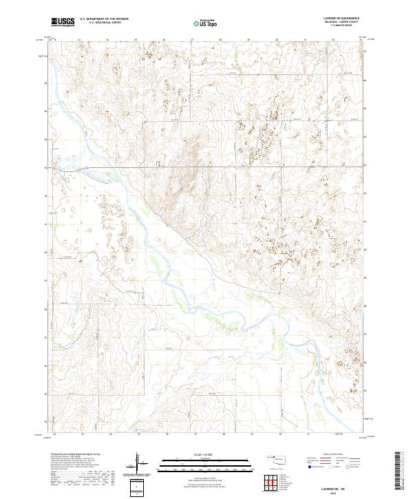
2010 Laverne NE
Harper County, OK
2010 Rosston NE
Harper County, OK
2010 Rosston NW
Harper County, OK
2010 Rosston SE
Harper County, OK
2010 Selman NW
Harper County, OK
2010 Selman SE
Harper County, OK
2010 Sleeping Bear Creek
Harper County, OK
2010 Sleeping Bear Creek NW
Harper County, OK
2012 Buffalo NE
Harper County, OK
2012 Buffalo NW
Harper County, OK
2012 Buffalo SE
Harper County, OK
2012 Fort Supply NE
Harper County, OK
2012 Fort Supply NW
Harper County, OK
2012 Laverne NE
Harper County, OK
2012 Rosston NE
Harper County, OK
2012 Rosston NW
Harper County, OK
2012 Rosston SE
Harper County, OK
2012 Selman NW
Harper County, OK
2012 Selman SE
Harper County, OK
2012 Sleeping Bear Creek
Harper County, OK
2012 Sleeping Bear Creek NW
Harper County, OK
2016 Buffalo NE
Harper County, OK
2016 Buffalo NW
Harper County, OK
2016 Buffalo SE
Harper County, OK
2016 Fort Supply NE
Harper County, OK
2016 Fort Supply NW
Harper County, OK
2016 Laverne NE
Harper County, OK
2016 Rosston NE
Harper County, OK
2016 Rosston NW
Harper County, OK
2016 Rosston SE
Harper County, OK
2016 Selman NW
Harper County, OK
2016 Selman SE
Harper County, OK
2016 Sleeping Bear Creek
Harper County, OK
2016 Sleeping Bear Creek NW
Harper County, OK
2018 Buffalo NE
Harper County, OK
2018 Buffalo NW
Harper County, OK
2018 Buffalo SE
Harper County, OK
2018 Fort Supply NE
Harper County, OK
2018 Fort Supply NW
Harper County, OK
2018 Laverne NE
Harper County, OK
2018 Rosston NE
Harper County, OK
2018 Rosston NW
Harper County, OK
2018 Rosston SE
Harper County, OK
2018 Selman NW
Harper County, OK
2018 Selman SE
Harper County, OK
2018 Sleeping Bear Creek
Harper County, OK
2018 Sleeping Bear Creek NW
Harper County, OK
2022 Buffalo NE
Harper County, OK
2022 Buffalo NW
Harper County, OK
2022 Buffalo SE
Harper County, OK
2022 Fort Supply NE
Harper County, OK
2022 Fort Supply NW
Harper County, OK
2022 Laverne NE
Harper County, OK
2022 Rosston NE
Harper County, OK
2022 Rosston NW
Harper County, OK
2022 Rosston SE
Harper County, OK
2022 Selman NW
Harper County, OK
2022 Selman SE
Harper County, OK
2022 Sleeping Bear Creek
Harper County, OK
2022 Sleeping Bear Creek NW
Harper County, OK