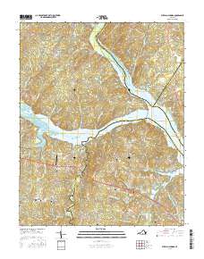
2016 Map of Buffalo Springs
USGS Topo · Published 2016About this map
The confluence of the Roanoke River and Dan River defines this Southside Virginia landscape, where the rising waters of the John H. Kerr Reservoir reach into several counties. In this area of Halifax and Mecklenburg, family legacy is anchored by numerous burial sites like Aarons Creek Cem, Snead Cem, and White Oak Fork Cem near the small settlement of Midway. Further north, Dryburg sits among a network of rural routes including Newbill Trl and Dryburg Rd, while High Hill marks the western edge of the quadrangle.
Find a feature on this map
82 named features on this map. Tap any name to fly to it.
Don’t see what you’re looking for? This feature index may not catch every label — zoom into the map to look around manually.
Map Details
Editions of this 2016 Buffalo Springs Map
This is the sole edition of this map. No revisions or reprints were ever made.
Other maps of this area

1941 · Clarksville
USGS Topo · 1:48,000

1943 · Clarksville
USGS Topo · 1:62,500

1953 · South Boston
USGS Topo · 1:62,500

1953 · Greensboro
USGS Topo · 1:250,000

1954 · Greensboro
USGS Topo · 1:250,000

1954 · Clover
USGS Topo · 1:62,500

1954 · Halifax
USGS Topo · 1:62,500

1957 · South Boston
USGS Topo · 1:62,500

1957 · Clarksville
USGS Topo · 1:62,500

1962 · Greensboro
USGS Topo · 1:250,000