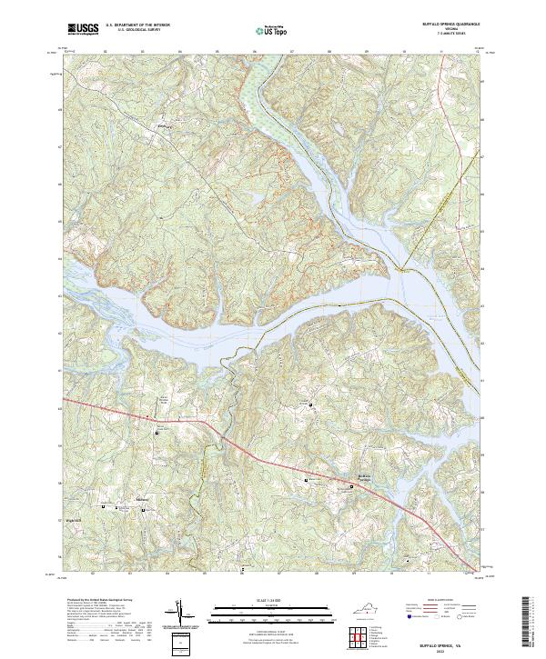
2022 Map of Buffalo Springs
USGS Topo · Published 2022About this map
Buffalo Springs and the small settlements of Dryburg, Midway, and High Hill define the rural character of this borderland where Halifax, Mecklenburg, and Charlotte counties meet. The landscape is profoundly shaped by the confluence of the Staunton River and Dan River as they feed into the John H. Kerr Reservoir, a massive water body that dominates the eastern half of the map. This modern survey illustrates how traditional road networks, such as MacDonald Rd and Allen's Mill Rd, now coexist with recreational and conservation efforts like the Tobacco Heritage Trail.
Find a feature on this map
88 named features on this map. Tap any name to fly to it.
Don’t see what you’re looking for? This feature index may not catch every label — zoom into the map to look around manually.
Map Details
Editions of this 2022 Buffalo Springs Map
This is the sole edition of this map. No revisions or reprints were ever made.
Other maps of this area

1941 · Clarksville
USGS Topo · 1:48,000

1943 · Clarksville
USGS Topo · 1:62,500

1953 · South Boston
USGS Topo · 1:62,500

1953 · Greensboro
USGS Topo · 1:250,000

1954 · Greensboro
USGS Topo · 1:250,000

1954 · Clover
USGS Topo · 1:62,500

1954 · Halifax
USGS Topo · 1:62,500

1957 · South Boston
USGS Topo · 1:62,500

1957 · Clarksville
USGS Topo · 1:62,500

1962 · Greensboro
USGS Topo · 1:250,000