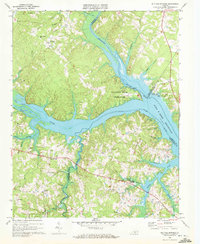
1968 Map of Buffalo Springs
USGS Topo · Published 1972About this map
The confluence of the Roanoke River, Dan River, and Hyco River defines this landscape in southern Virginia, where the waters broaden into the John H Kerr Reservoir. The topography is a complex network of ridges and drainages, such as Aarons Creek and Buffalo Creek, which separate small agricultural settlements and rural communities. In the late 1960s, these uplands remained largely wooded and rural, punctuated by local landmarks like Fork Ch and St Marks Ch, reflecting a deep-seated community structure tied to the land.
Find a feature on this map
44 named features on this map. Tap any name to fly to it.
Don’t see what you’re looking for? This feature index may not catch every label — zoom into the map to look around manually.
Map Details
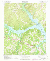
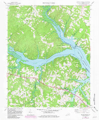
Editions of this 1968 Buffalo Springs Map
3 editions found
Other maps of this area

1941 · Clarksville
USGS Topo · 1:48,000

1943 · Clarksville
USGS Topo · 1:62,500

1953 · South Boston
USGS Topo · 1:62,500

1953 · Greensboro
USGS Topo · 1:250,000

1954 · Greensboro
USGS Topo · 1:250,000

1954 · Clover
USGS Topo · 1:62,500

1954 · Halifax
USGS Topo · 1:62,500

1957 · South Boston
USGS Topo · 1:62,500

1957 · Clarksville
USGS Topo · 1:62,500

1962 · Greensboro
USGS Topo · 1:250,000