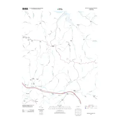
2013 Map of Buffalo Valley
USGS Topo · Published 2013About this map
Caney Fork winds through the heart of this landscape, carving deep loops such as Bettys Bend and Moss Bend before meeting the waters of the Cordell Hull Reservoir to the north. This region of Smith County is defined by its series of narrow hollows and valleys, where settlements like Chestnut Mound and Buffalo Valley emerged at the intersection of rugged ridges and fertile bottoms. The map documents a dense network of family-named landmarks and rural communities, including Enigma and Lancaster, connected by winding roads that follow the natural contours of the land.
Find a feature on this map
117 named features on this map. Tap any name to fly to it.
Don’t see what you’re looking for? This feature index may not catch every label — zoom into the map to look around manually.
Map Details
Editions of this 2013 Buffalo Valley Map
This is the sole edition of this map. No revisions or reprints were ever made.
Other maps of this area

1925 · Gainesboro
USGS Topo · 1:62,500

1928 · Gordonsville
USGS Topo · 1:62,500

1929 · Gainesboro
USGS Topo · 1:62,500

1932 · Carthage
USGS Topo · 1:62,500

1942 · Statesville
USGS Topo · 1:100,000

1943 · Cookeville
USGS Topo · 1:100,000

1944 · Cookeville
USGS Topo · 1:100,000

1955 · Baxter
USGS Topo · 1:24,000

1956 · Silver Point
USGS Topo · 1:24,000

1956 · Corbin
USGS Topo · 1:250,000