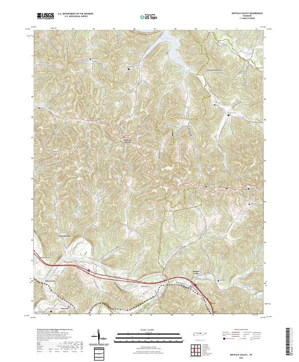
2022 Map of Buffalo Valley
USGS Topo · Published 2022About this map
The Caney Fork and Smith Fork Creek converge in this dissected plateau region, where the intricate network of hollows and ridges dictates the placement of long-standing rural communities. Settlements like Chestnut Mound and Buffalo Valley are positioned along high ground and valley floors, connected by a winding road system that follows the natural topography of places such as Opossum Valley and Ditty Hollow. The northern boundary is defined by the expansive Cordell Hull Reservoir, which transformed the local drainage patterns of Hurricane Cr and Martin Cr.
Find a feature on this map
129 named features on this map. Tap any name to fly to it.
Don’t see what you’re looking for? This feature index may not catch every label — zoom into the map to look around manually.
Map Details
Editions of this 2022 Buffalo Valley Map
This is the sole edition of this map. No revisions or reprints were ever made.
Other maps of this area

1925 · Gainesboro
USGS Topo · 1:62,500

1928 · Gordonsville
USGS Topo · 1:62,500

1929 · Gainesboro
USGS Topo · 1:62,500

1932 · Carthage
USGS Topo · 1:62,500

1942 · Statesville
USGS Topo · 1:100,000

1943 · Cookeville
USGS Topo · 1:100,000

1944 · Cookeville
USGS Topo · 1:100,000

1955 · Baxter
USGS Topo · 1:24,000

1956 · Silver Point
USGS Topo · 1:24,000

1956 · Corbin
USGS Topo · 1:250,000