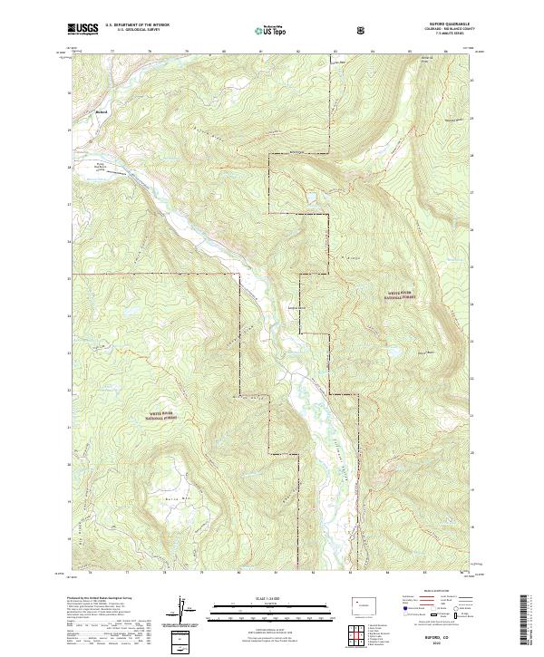
2022 Map of Buford
USGS Topo · Published 2022About this map
Buford serves as the primary anchor in this high-altitude landscape where the North Fork White River and South Fork White River converge. The terrain is defined by dramatic elevation changes, from the broad Stillwater Valley to the heights of Buford Peak and Burro Mtn. Within the White River National Forest, the map reveals a network of water management and remote access, including the Marcott Ditch and the Flying Dog Ranch Airstrip.
Find a feature on this map
70 named features on this map. Tap any name to fly to it.
Don’t see what you’re looking for? This feature index may not catch every label — zoom into the map to look around manually.
Map Details
Editions of this 2022 Buford Map
This is the sole edition of this map. No revisions or reprints were ever made.
Other maps of this area

1906 · Grand Hogback
USGS Topo · 1:125,000

1910 · Danforth Hills
USGS Topo · 1:125,000

1910 · Grand Hogback
USGS Topo · 1:125,000

1927 · Glenwood Springs
USGS Topo · 1:125,000

1930 · Glenwood Springs
USGS Topo · 1:125,000

1954 · Craig
USGS Topo · 1:250,000

1957 · Craig
USGS Topo · 1:250,000

1957 · Leadville
USGS Topo · 1:250,000

1958 · Craig
USGS Topo · 1:250,000

1959 · Leadville
USGS Topo · 1:250,000