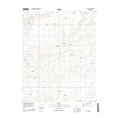
2014 Map of Bug Canyon
USGS Topo · Published 2014About this map
Montezuma Canyon and its namesake drainage, Montezuma Cr, anchor this corner of San Juan County, where high plateaus are dissected by an intricate network of deep washes. The landscape is defined by its topographic complexity, featuring family-named and descriptive landmarks like Johnny Benal Canyon, Pickett Corral Canyon, and Little Nancy Canyon. These features reflect the localized naming conventions of the high desert, where water sources like Soda Spring and Lake Canyon are critical geographical markers.
Find a feature on this map
28 named features on this map. Tap any name to fly to it.
Don’t see what you’re looking for? This feature index may not catch every label — zoom into the map to look around manually.
Map Details
Editions of this 2014 Bug Canyon Map
This is the sole edition of this map. No revisions or reprints were ever made.
Other maps of this area

1886 · Abajo
USGS Topo · 1:250,000

1892 · Abajo
USGS Topo · 1:250,000

1893 · Abajo
USGS Topo · 1:250,000

1955 · Verdure 4 NW
USGS Topo · 1:24,000

1955 · Verdure 3 SE
USGS Topo · 1:24,000

1955 · Verdure 4 SW
USGS Topo · 1:24,000

1955 · Verdure 3 NE
USGS Topo · 1:24,000

1956 · Cortez
USGS Topo · 1:250,000

1957 · Aneth 1 NE
USGS Topo · 1:24,000

1957 · Aneth 1 NW
USGS Topo · 1:24,000