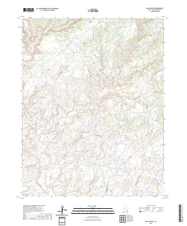
2023 Map of Bug Canyon
USGS Topo · Published 2023About this map
Cedar Park sits at the northern edge of this high-elevation landscape, where the drainage systems of Montezuma Creek and Monument Creek have carved deep canyons into the plateau. The terrain is defined by its namesake Bug Canyon and a complex network of branching ravines like Pickett Corral Canyon and Poor Cow Canyon. These features illustrate the natural erosive force that has shaped the San Juan County region over millennia.
Find a feature on this map
24 named features on this map. Tap any name to fly to it.
Don’t see what you’re looking for? This feature index may not catch every label — zoom into the map to look around manually.
Map Details
Editions of this 2023 Bug Canyon Map
This is the sole edition of this map. No revisions or reprints were ever made.
Other maps of this area

1886 · Abajo
USGS Topo · 1:250,000

1892 · Abajo
USGS Topo · 1:250,000

1893 · Abajo
USGS Topo · 1:250,000

1955 · Verdure 4 NW
USGS Topo · 1:24,000

1955 · Verdure 3 SE
USGS Topo · 1:24,000

1955 · Verdure 4 SW
USGS Topo · 1:24,000

1955 · Verdure 3 NE
USGS Topo · 1:24,000

1956 · Cortez
USGS Topo · 1:250,000

1957 · Aneth 1 NE
USGS Topo · 1:24,000

1957 · Aneth 1 NW
USGS Topo · 1:24,000