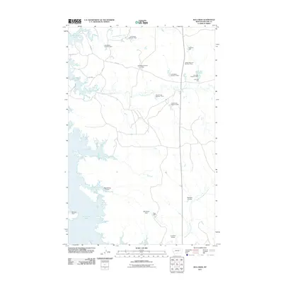
2011 Map of Bug Creek
USGS Topo · Published 2011About this map
Fort Peck Lake defines the western edge of this McCone County landscape, where the vast water meets a network of dry coulees and small-scale water management projects. The terrain is a complex drainage system characterized by features like Black Spring Coulee and Robinson Coulee, showing the essential role of localized dams in this arid region. Numerous small reservoirs and dams, often bearing family names such as the Lyle Nelson Number 1 Dam, John Ball Dam, and Towe Farms Number 1 Dam, reveal a history of private or small-group water storage for livestock and ranching.
Find a feature on this map
33 named features on this map. Tap any name to fly to it.
Don’t see what you’re looking for? This feature index may not catch every label — zoom into the map to look around manually.
Map Details
Editions of this 2011 Bug Creek Map
This is the sole edition of this map. No revisions or reprints were ever made.
Other maps of this area

1954 · Jordan
USGS Topo · 1:250,000

1956 · Jordan
USGS Topo · 1:250,000

1958 · Jordan
USGS Topo · 1:250,000

1964 · Jordan
USGS Topo · 1:250,000

1972 · Short Creek
USGS Topo · 1:24,000
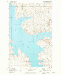
1972 · Spring Creek Bay
USGS Topo · 1:24,000

1972 · Ash Creek East
USGS Topo · 1:24,000

1973 · Crow Springs
USGS Topo · 1:24,000
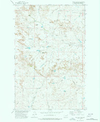
1973 · Willis Buttes
USGS Topo · 1:24,000
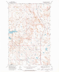
1973 · Sand Arroyo
USGS Topo · 1:24,000