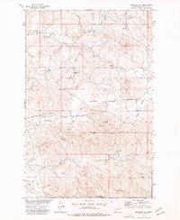
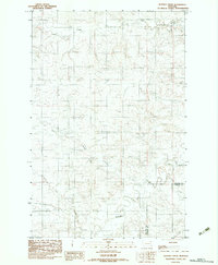
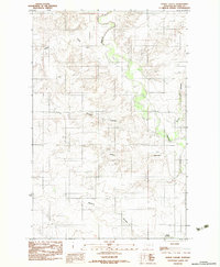
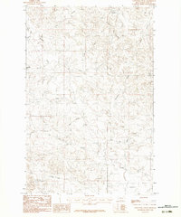
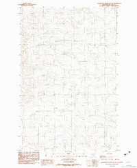
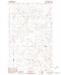
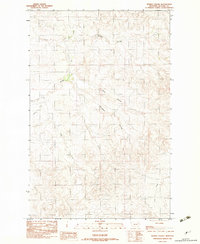
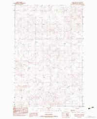
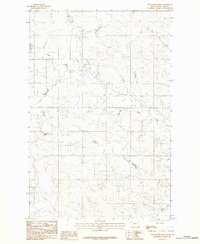
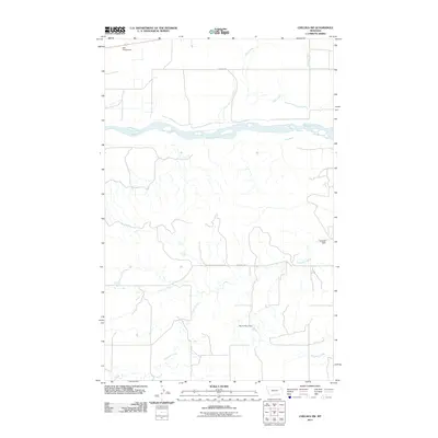
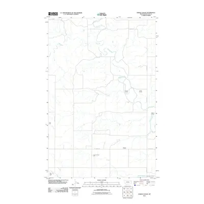
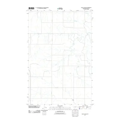
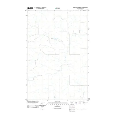
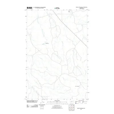
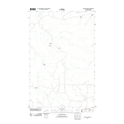
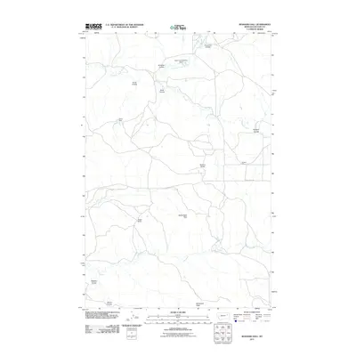
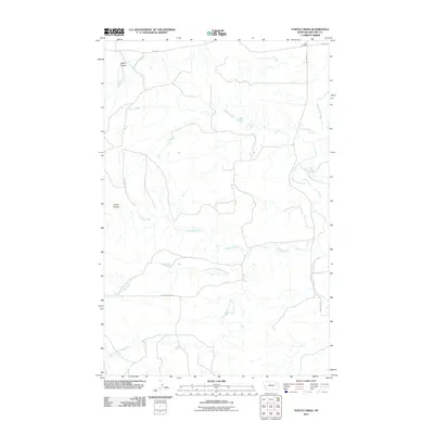
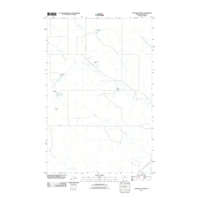
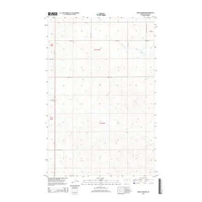
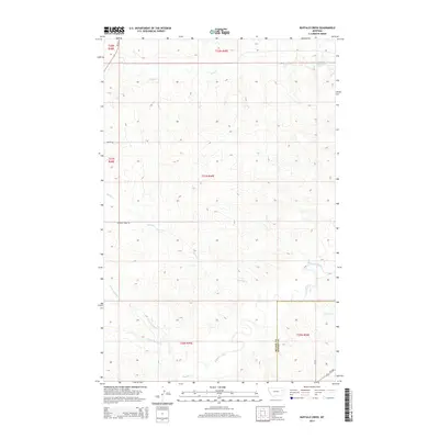
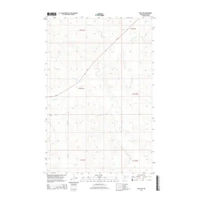
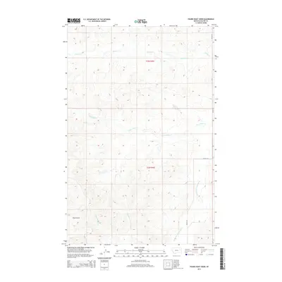
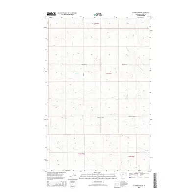
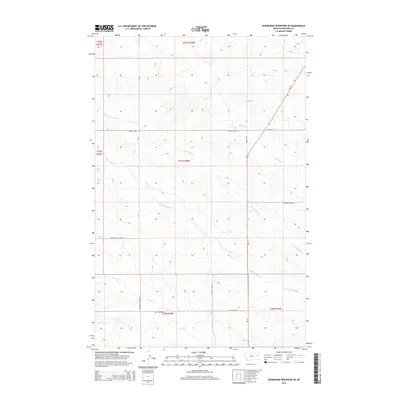
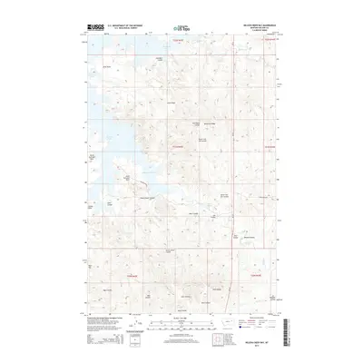
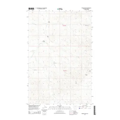
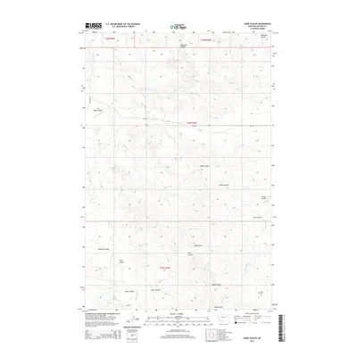
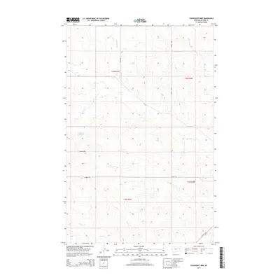
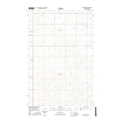
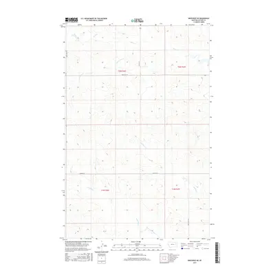
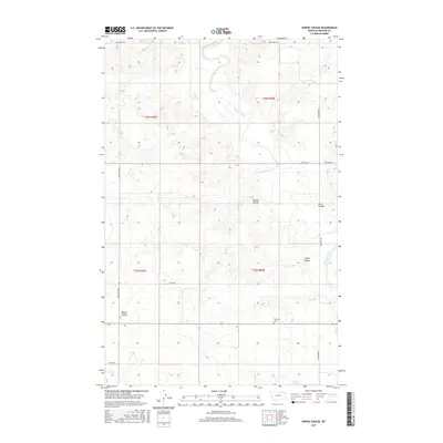
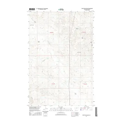
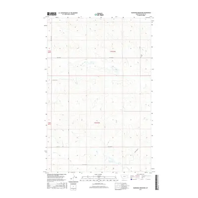
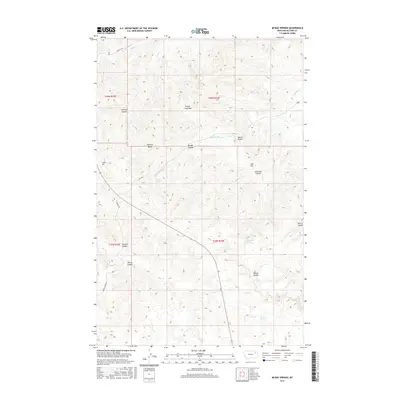
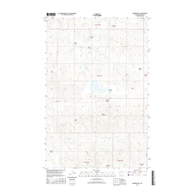
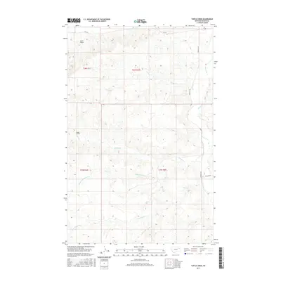
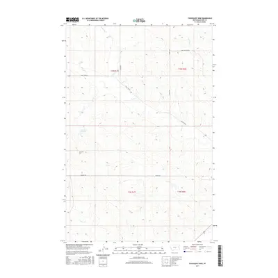
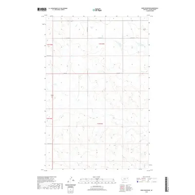
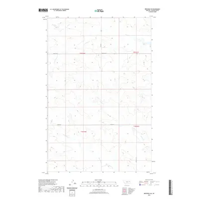
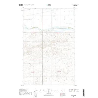
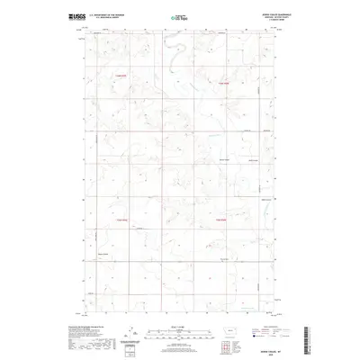
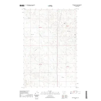
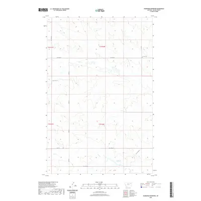
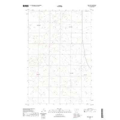
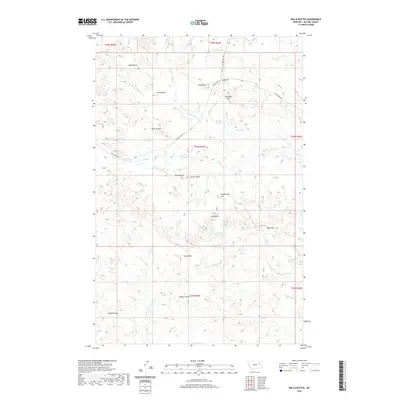
1973 Map of Willis Buttes
USGS Topo · Published 1977About this map
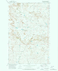
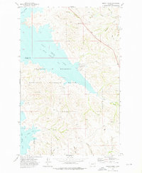
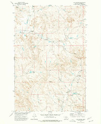
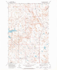
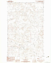
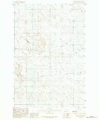
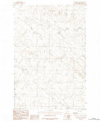
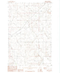
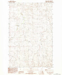
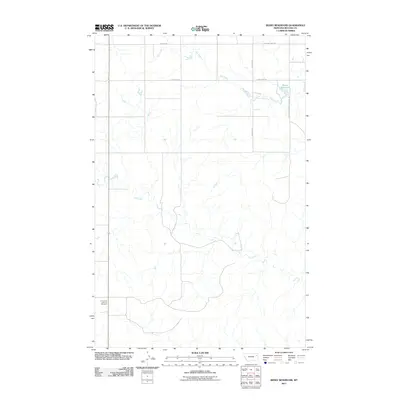
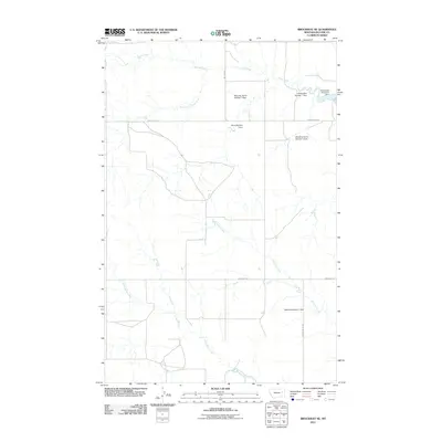
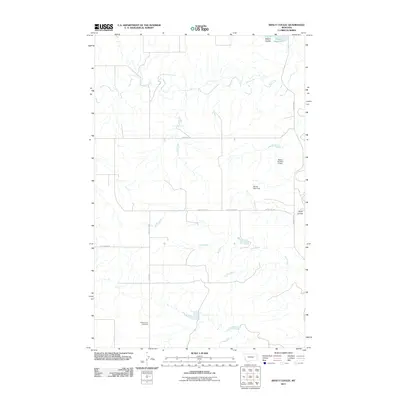
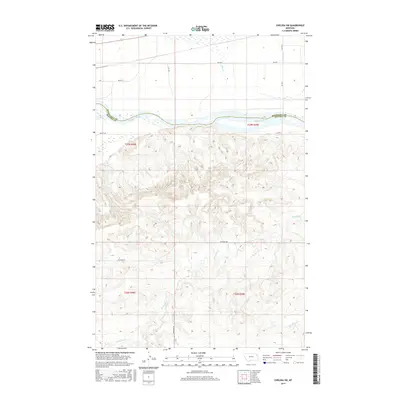
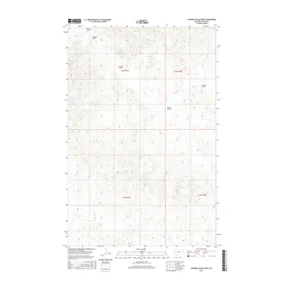
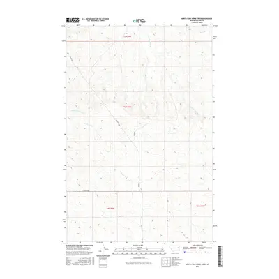
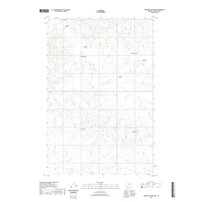
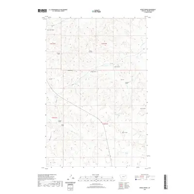
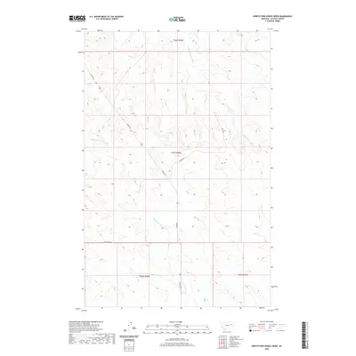
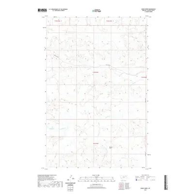
Willis Buttes and the high ridge of the Bonin Divide dominate this landscape in McCone County, Montana. The terrain is defined by a series of isolated rises and gaps, including Teton Butte, Big Butte, and Lions Pass, which suggest the traditional travel routes and natural boundaries of this high-plains environment. Water management is a central theme of the 1970s land use here, visible through numerous catchments such as Hell Gate Reservoir, Goose Island Reservoir, and Game Reservoir, along with isolated wells and springs like Ateas Springs. The presence of a Landing Strip near North Prong Shade Creek and family-named landmarks like Vanderhoof Hill and Twitchell Pass reflects a ranching economy where distance necessitated private aviation and clear geographical markers for navigating the drainage basins of South Fork Rock Creek.
Find a feature on this map
33 named features on this map. Tap any name to fly to it.
Don’t see what you’re looking for? This feature index may not catch every label — zoom into the map to look around manually.
Map Details
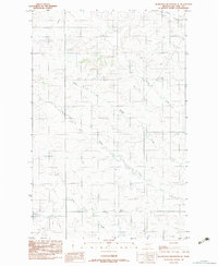
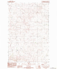
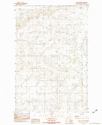
Editions of this 1973 Willis Buttes Map
This is the sole edition of this map. No revisions or reprints were ever made.
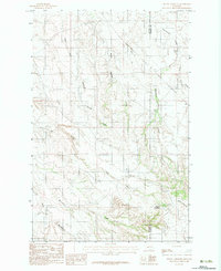
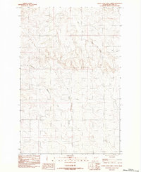
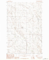
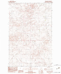
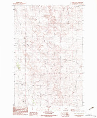
Historical Maps of McCone County Through Time
300 maps found
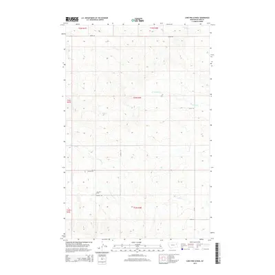
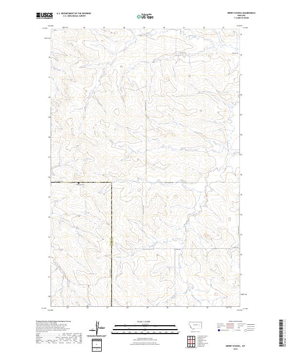
1965 Berry School
McCone County, MT
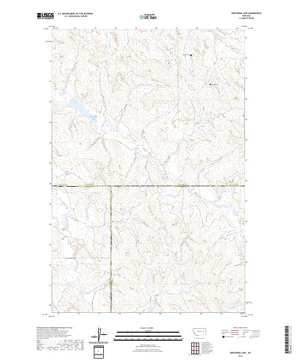
1965 Hedstrom Lake
McCone County, MT
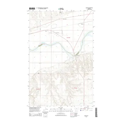
1965 Watkins
McCone County, MT
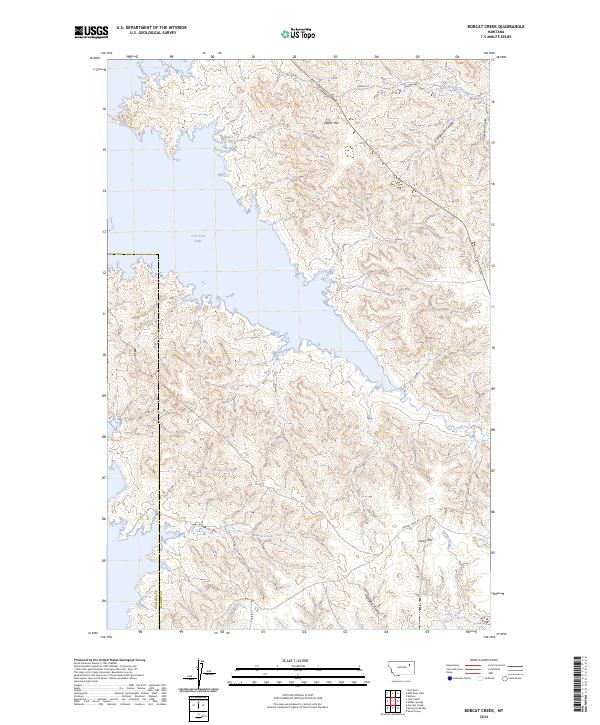
1972 Bobcat Creek
McCone County, MT
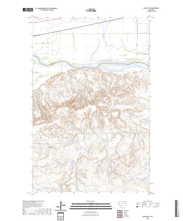
1972 Chelsea SW
McCone County, MT
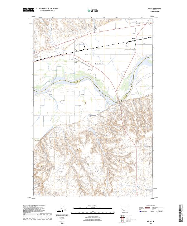
1972 Macon
McCone County, MT

1972 Nickwall
McCone County, MT
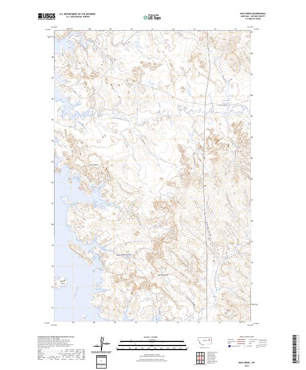
1973 Bug Creek
McCone County, MT
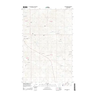
1973 Crow Springs
McCone County, MT
1973 Mc Rae Springs
McCone County, MT
1973 Nelson Creek Bay
McCone County, MT
1973 Pasture Creek
McCone County, MT
1973 Rodgers Hall
McCone County, MT
1973 Sand Arroyo
McCone County, MT
1973 Willis Buttes
McCone County, MT
1983 Antelope Creek Reservoir
McCone County, MT
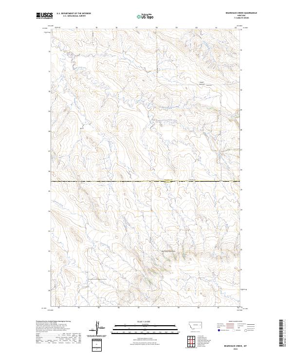
1983 Bearshack Creek
McCone County, MT
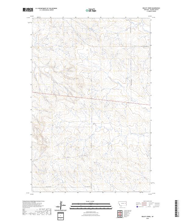
1983 Beauty Creek
McCone County, MT
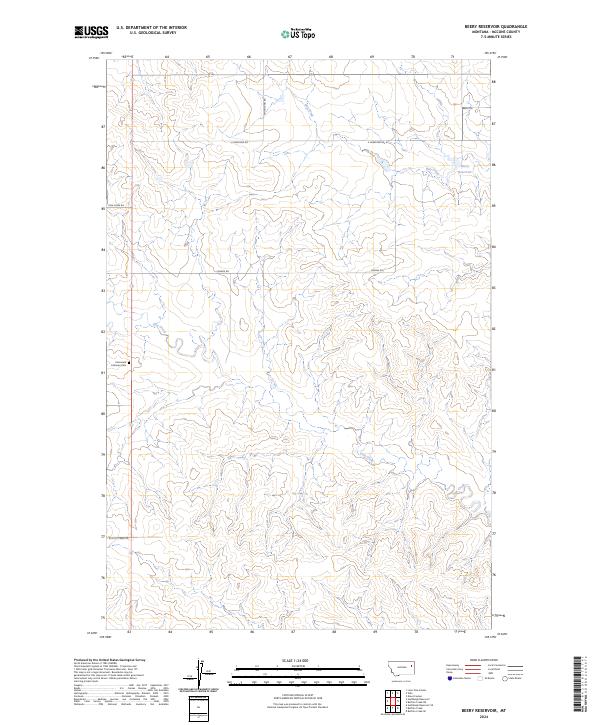
1983 Beery Reservoir
McCone County, MT
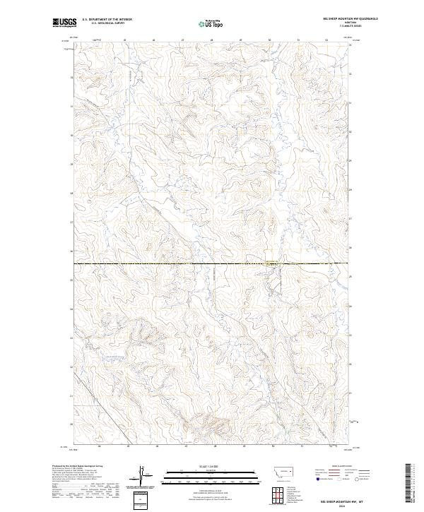
1983 Big Sheep Mountain NW
McCone County, MT
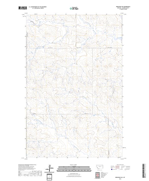
1983 Brockway NE
McCone County, MT
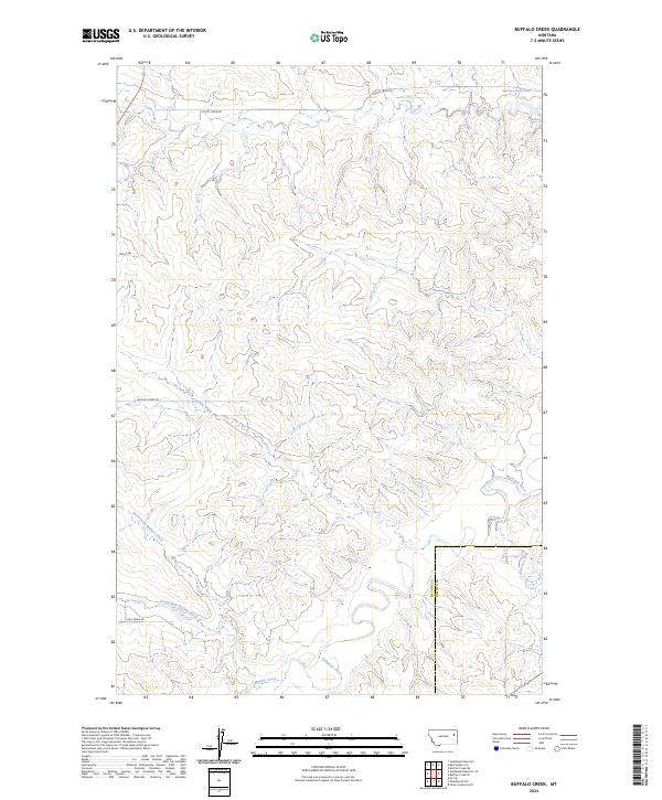
1983 Buffalo Creek
McCone County, MT
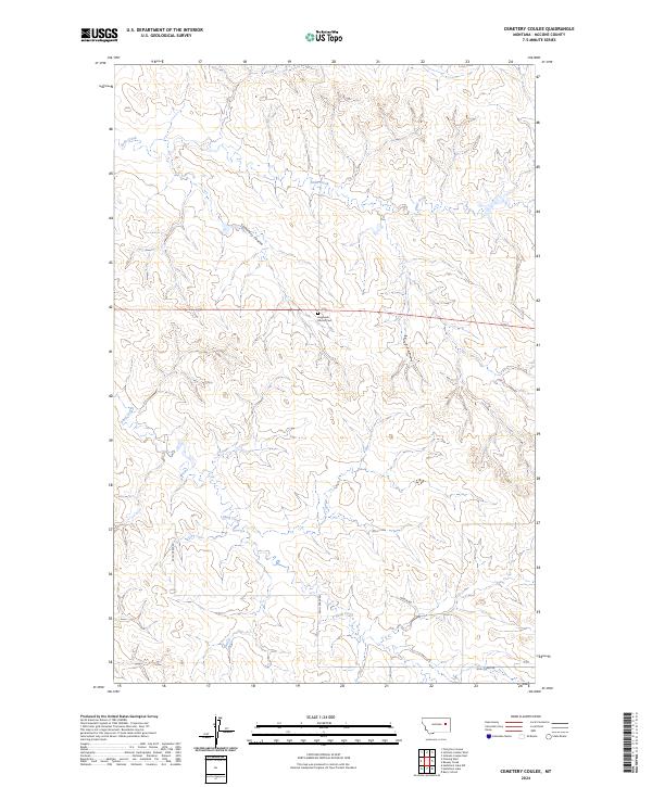
1983 Cemetery Coulee
McCone County, MT
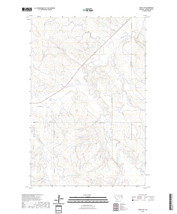
1983 Circle SW
McCone County, MT
1983 Dailey Spring
McCone County, MT
1983 Dowse Coulee
McCone County, MT
1983 Emily Coulee
McCone County, MT
1983 Figure Eight Creek
McCone County, MT
1983 Flowing Well
McCone County, MT
1983 Fortyfour Coulee
McCone County, MT
1983 Gady Coulee
McCone County, MT
1983 Haynie Reservoir
McCone County, MT
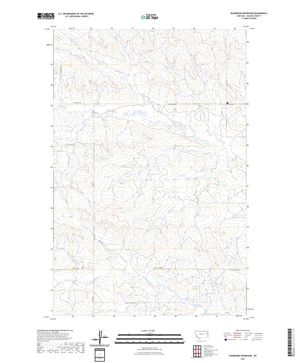
1983 Hudiburgh Reservoir
McCone County, MT
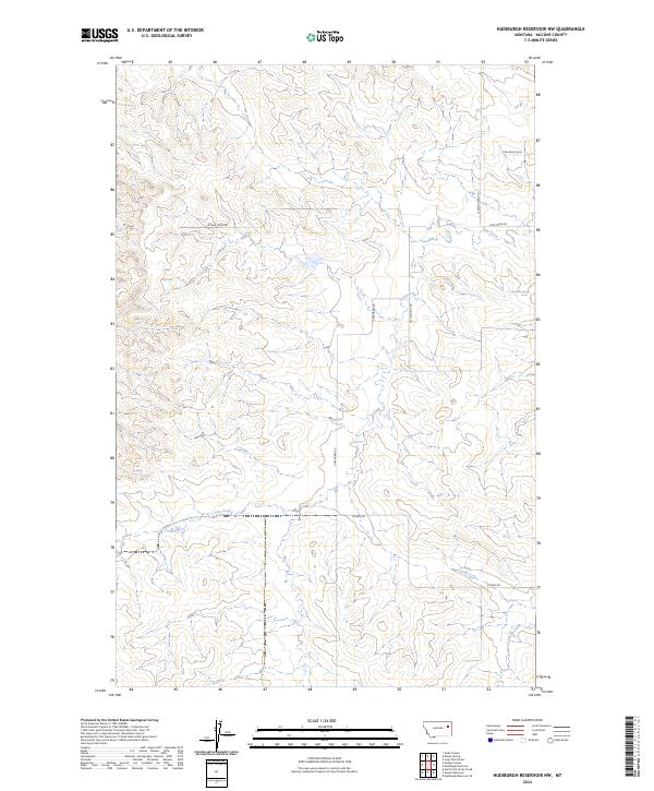
1983 Hudiburgh Reservoir NW
McCone County, MT
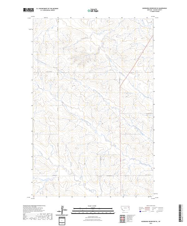
1983 Hudiburgh Reservoir SE
McCone County, MT
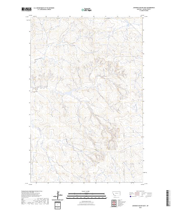
1983 Johnson Coulee East
McCone County, MT
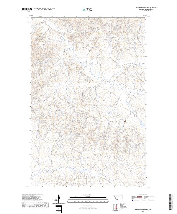
1983 Johnson Coulee West
McCone County, MT
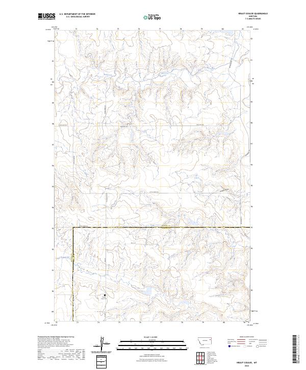
1983 Kraut Coulee
McCone County, MT
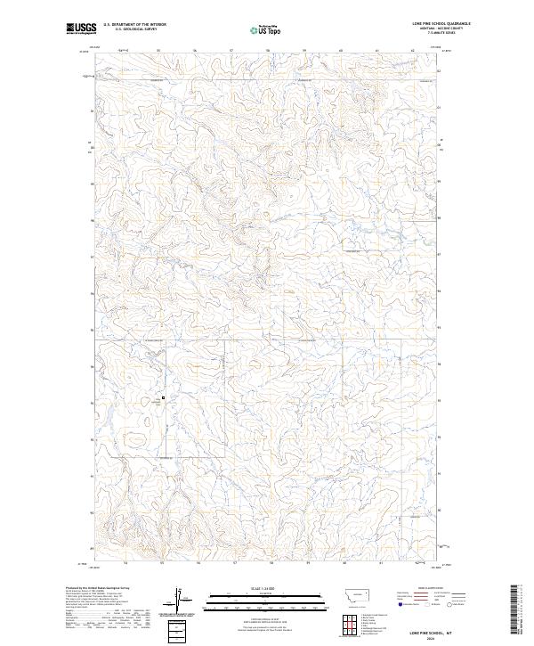
1983 Lone Pine School
McCone County, MT
1983 Mount Antelope
McCone County, MT
1983 North Fork Horse Creek
McCone County, MT
1983 Pedigo Coulee
McCone County, MT
1983 Quick Reservoir
McCone County, MT
1983 Rock Creek
McCone County, MT
1983 Sadie Coulee
McCone County, MT
1983 Shade Creek
McCone County, MT
1983 Turtle Creek
McCone County, MT
1983 Weldon
McCone County, MT
1983 Woodworth Hill
McCone County, MT
1983 Youngquist Mine
McCone County, MT
2011 Antelope Creek Reservoir
McCone County, MT
2011 Bearshack Creek
McCone County, MT
2011 Beauty Creek
McCone County, MT
2011 Beery Reservoir
McCone County, MT
2011 Berry School
McCone County, MT
2011 Big Sheep Mountain NW
McCone County, MT
2011 Bobcat Creek
McCone County, MT
2011 Brockway NE
McCone County, MT
2011 Buffalo Creek
McCone County, MT
2011 Bug Creek
McCone County, MT
2011 Cemetery Coulee
McCone County, MT
2011 Chelsea SW
McCone County, MT
2011 Circle SW
McCone County, MT
2011 Crow Springs
McCone County, MT
2011 Dailey Spring
McCone County, MT
2011 Dowse Coulee
McCone County, MT
2011 Emily Coulee
McCone County, MT
2011 Figure Eight Creek
McCone County, MT

2011 Flowing Well
McCone County, MT
2011 Fortyfour Coulee
McCone County, MT
2011 Gady Coulee
McCone County, MT
2011 Haynie Reservoir
McCone County, MT
2011 Hedstrom Lake
McCone County, MT
2011 Hudiburgh Reservoir
McCone County, MT
2011 Hudiburgh Reservoir NW
McCone County, MT
2011 Hudiburgh Reservoir SE
McCone County, MT
2011 Johnson Coulee East
McCone County, MT
2011 Johnson Coulee West
McCone County, MT
2011 Kraut Coulee
McCone County, MT
2011 Lone Pine School
McCone County, MT
2011 Macon
McCone County, MT
2011 McRae Springs
McCone County, MT
2011 Mount Antelope
McCone County, MT
2011 Nelson Creek Bay
McCone County, MT
2011 Nickwall
McCone County, MT
2011 North Fork Horse Creek
McCone County, MT
2011 Pasture Creek
McCone County, MT
2011 Pedigo Coulee
McCone County, MT
2011 Quick Reservoir
McCone County, MT
2011 Rock Creek
McCone County, MT
2011 Rodgers Hall
McCone County, MT
2011 Sadie Coulee
McCone County, MT
2011 Sand Arroyo
McCone County, MT
2011 Shade Creek
McCone County, MT
2011 Turtle Creek
McCone County, MT
2011 Watkins
McCone County, MT
2011 Weldon
McCone County, MT

2011 Willis Buttes
McCone County, MT
2011 Woodworth Hill
McCone County, MT
2011 Youngquist Mine
McCone County, MT
2014 Antelope Creek Reservoir
McCone County, MT
2014 Bearshack Creek
McCone County, MT
2014 Beauty Creek
McCone County, MT
2014 Beery Reservoir
McCone County, MT

2014 Berry School
McCone County, MT
2014 Big Sheep Mountain NW
McCone County, MT
2014 Bobcat Creek
McCone County, MT
2014 Brockway NE
McCone County, MT
2014 Buffalo Creek
McCone County, MT
2014 Bug Creek
McCone County, MT
2014 Cemetery Coulee
McCone County, MT
2014 Chelsea SW
McCone County, MT
2014 Circle SW
McCone County, MT
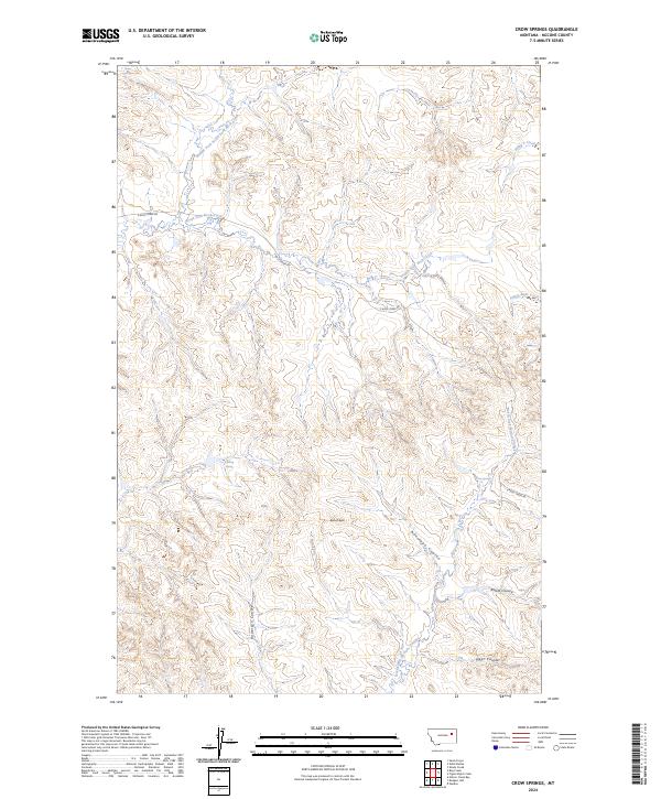
2014 Crow Springs
McCone County, MT
2014 Dailey Spring
McCone County, MT

2014 Dowse Coulee
McCone County, MT
2014 Emily Coulee
McCone County, MT
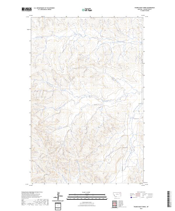
2014 Figure Eight Creek
McCone County, MT
2014 Flowing Well
McCone County, MT
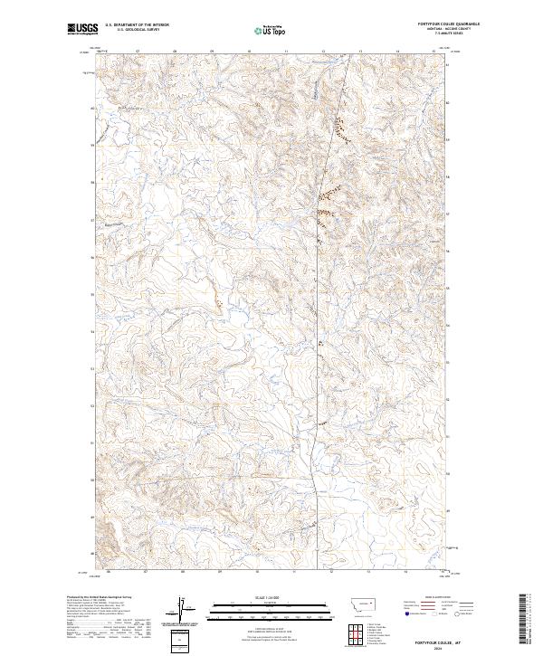
2014 Fortyfour Coulee
McCone County, MT
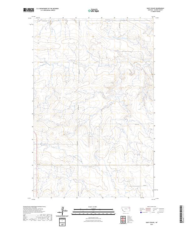
2014 Gady Coulee
McCone County, MT
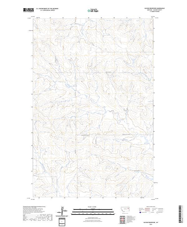
2014 Haynie Reservoir
McCone County, MT
2014 Hedstrom Lake
McCone County, MT
2014 Hudiburgh Reservoir
McCone County, MT
2014 Hudiburgh Reservoir NW
McCone County, MT
2014 Hudiburgh Reservoir SE
McCone County, MT
2014 Johnson Coulee East
McCone County, MT
2014 Johnson Coulee West
McCone County, MT
2014 Kraut Coulee
McCone County, MT
2014 Lone Pine School
McCone County, MT
2014 Macon
McCone County, MT
2014 McRae Springs
McCone County, MT
2014 Mount Antelope
McCone County, MT
2014 Nelson Creek Bay
McCone County, MT
2014 Nickwall
McCone County, MT
2014 North Fork Horse Creek
McCone County, MT
2014 Pasture Creek
McCone County, MT
2014 Pedigo Coulee
McCone County, MT
2014 Quick Reservoir
McCone County, MT
2014 Rock Creek
McCone County, MT
2014 Rodgers Hall
McCone County, MT
2014 Sadie Coulee
McCone County, MT
2014 Sand Arroyo
McCone County, MT
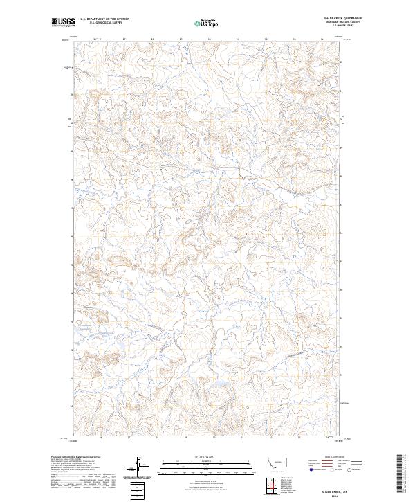
2014 Shade Creek
McCone County, MT
2014 Turtle Creek
McCone County, MT
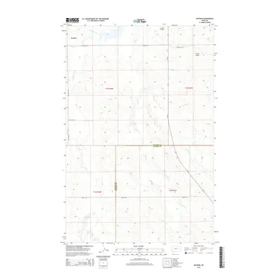
2014 Watkins
McCone County, MT
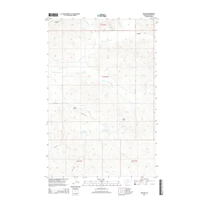
2014 Weldon
McCone County, MT
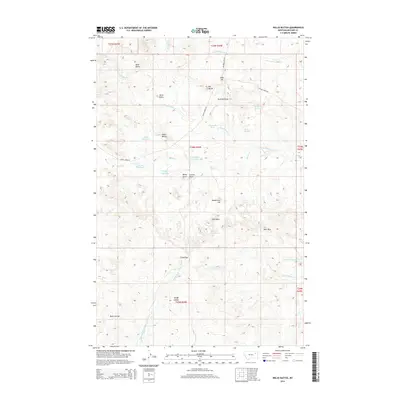
2014 Willis Buttes
McCone County, MT
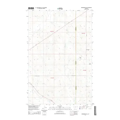
2014 Woodworth Hill
McCone County, MT
2014 Youngquist Mine
McCone County, MT
2017 Antelope Creek Reservoir
McCone County, MT
2017 Bearshack Creek
McCone County, MT
2017 Beauty Creek
McCone County, MT
2017 Beery Reservoir
McCone County, MT
2017 Berry School
McCone County, MT
2017 Big Sheep Mountain NW
McCone County, MT
2017 Bobcat Creek
McCone County, MT
2017 Brockway NE
McCone County, MT
2017 Buffalo Creek
McCone County, MT
2017 Bug Creek
McCone County, MT
2017 Cemetery Coulee
McCone County, MT
2017 Chelsea SW
McCone County, MT
2017 Circle SW
McCone County, MT
2017 Crow Springs
McCone County, MT
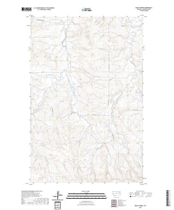
2017 Dailey Spring
McCone County, MT
2017 Dowse Coulee
McCone County, MT
2017 Emily Coulee
McCone County, MT
2017 Figure Eight Creek
McCone County, MT
2017 Flowing Well
McCone County, MT
2017 Fortyfour Coulee
McCone County, MT
2017 Gady Coulee
McCone County, MT
2017 Haynie Reservoir
McCone County, MT
2017 Hedstrom Lake
McCone County, MT
2017 Hudiburgh Reservoir
McCone County, MT
2017 Hudiburgh Reservoir NW
McCone County, MT
2017 Hudiburgh Reservoir SE
McCone County, MT
2017 Johnson Coulee East
McCone County, MT
2017 Johnson Coulee West
McCone County, MT
2017 Kraut Coulee
McCone County, MT
2017 Lone Pine School
McCone County, MT
2017 Macon
McCone County, MT
2017 McRae Springs
McCone County, MT
2017 Mount Antelope
McCone County, MT
2017 Nelson Creek Bay
McCone County, MT
2017 Nickwall
McCone County, MT
2017 North Fork Horse Creek
McCone County, MT

2017 Pasture Creek
McCone County, MT
2017 Pedigo Coulee
McCone County, MT
2017 Quick Reservoir
McCone County, MT
2017 Rock Creek
McCone County, MT
2017 Rodgers Hall
McCone County, MT
2017 Sadie Coulee
McCone County, MT
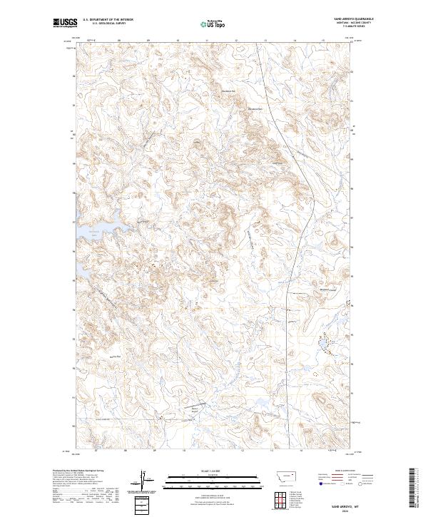
2017 Sand Arroyo
McCone County, MT
2017 Shade Creek
McCone County, MT
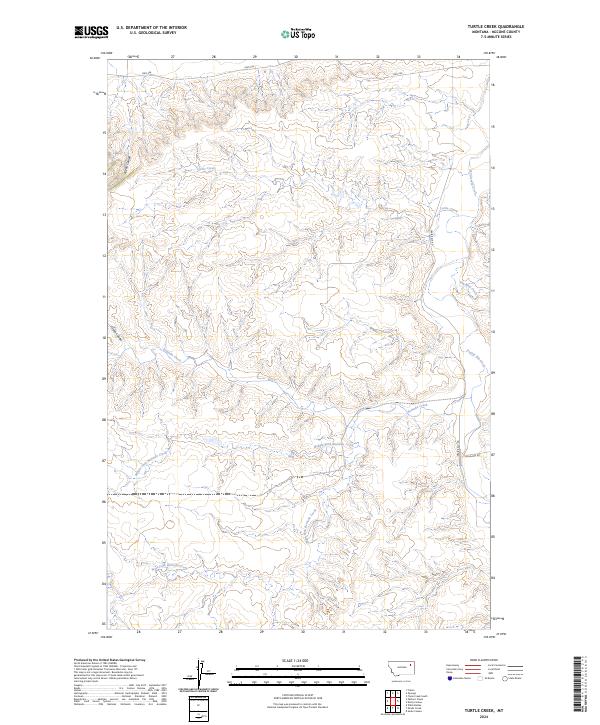
2017 Turtle Creek
McCone County, MT
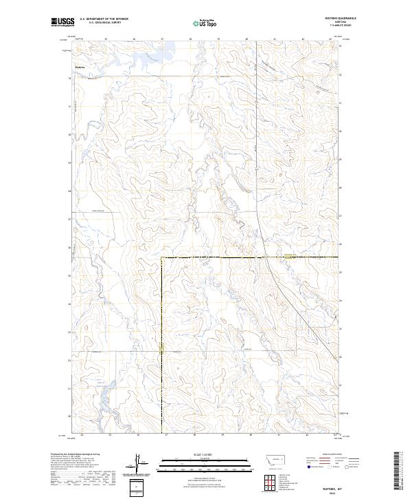
2017 Watkins
McCone County, MT

2017 Weldon
McCone County, MT
2017 Willis Buttes
McCone County, MT
2017 Woodworth Hill
McCone County, MT
2017 Youngquist Mine
McCone County, MT
2020 Antelope Creek Reservoir
McCone County, MT
2020 Bearshack Creek
McCone County, MT
2020 Beauty Creek
McCone County, MT
2020 Beery Reservoir
McCone County, MT
2020 Berry School
McCone County, MT
2020 Big Sheep Mountain NW
McCone County, MT
2020 Bobcat Creek
McCone County, MT
2020 Brockway NE
McCone County, MT
2020 Buffalo Creek
McCone County, MT
2020 Bug Creek
McCone County, MT
2020 Cemetery Coulee
McCone County, MT
2020 Chelsea SW
McCone County, MT
2020 Circle SW
McCone County, MT
2020 Crow Springs
McCone County, MT
2020 Dailey Spring
McCone County, MT
2020 Dowse Coulee
McCone County, MT
2020 Emily Coulee
McCone County, MT
2020 Figure Eight Creek
McCone County, MT
2020 Flowing Well
McCone County, MT
2020 Fortyfour Coulee
McCone County, MT
2020 Gady Coulee
McCone County, MT
2020 Haynie Reservoir
McCone County, MT
2020 Hedstrom Lake
McCone County, MT
2020 Hudiburgh Reservoir
McCone County, MT
2020 Hudiburgh Reservoir NW
McCone County, MT
2020 Hudiburgh Reservoir SE
McCone County, MT
2020 Johnson Coulee East
McCone County, MT
2020 Johnson Coulee West
McCone County, MT
2020 Kraut Coulee
McCone County, MT
2020 Lone Pine School
McCone County, MT
2020 Macon
McCone County, MT
2020 McRae Springs
McCone County, MT
2020 Mount Antelope
McCone County, MT
2020 Nelson Creek Bay
McCone County, MT
2020 Nickwall
McCone County, MT
2020 North Fork Horse Creek
McCone County, MT
2020 Pasture Creek
McCone County, MT
2020 Pedigo Coulee
McCone County, MT
2020 Quick Reservoir
McCone County, MT
2020 Rock Creek
McCone County, MT
2020 Rodgers Hall
McCone County, MT
2020 Sadie Coulee
McCone County, MT
2020 Sand Arroyo
McCone County, MT
2020 Shade Creek
McCone County, MT
2020 Turtle Creek
McCone County, MT
2020 Watkins
McCone County, MT
2020 Weldon
McCone County, MT
2020 Willis Buttes
McCone County, MT
2020 Woodworth Hill
McCone County, MT
2020 Youngquist Mine
McCone County, MT
2024 Antelope Creek Reservoir
McCone County, MT
2024 Bearshack Creek
McCone County, MT
2024 Beauty Creek
McCone County, MT
2024 Beery Reservoir
McCone County, MT
2024 Berry School
McCone County, MT
2024 Big Sheep Mountain NW
McCone County, MT
2024 Bobcat Creek
McCone County, MT
2024 Brockway NE
McCone County, MT
2024 Buffalo Creek
McCone County, MT
2024 Bug Creek
McCone County, MT
2024 Cemetery Coulee
McCone County, MT
2024 Chelsea SW
McCone County, MT
2024 Circle SW
McCone County, MT
2024 Crow Springs
McCone County, MT
2024 Dailey Spring
McCone County, MT
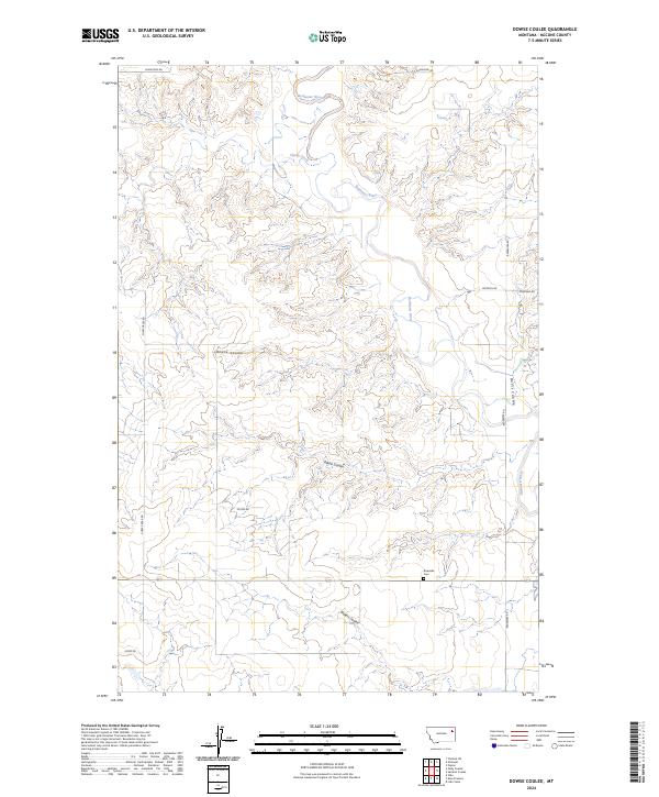
2024 Dowse Coulee
McCone County, MT
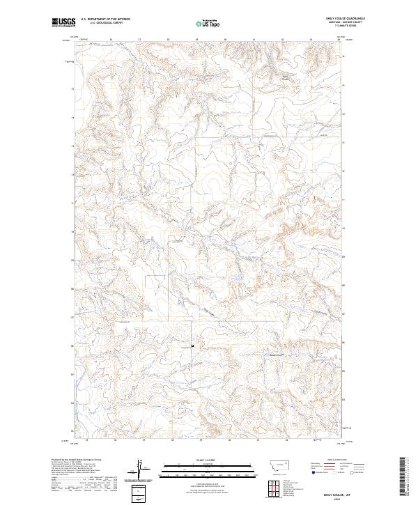
2024 Emily Coulee
McCone County, MT
2024 Figure Eight Creek
McCone County, MT

2024 Flowing Well
McCone County, MT
2024 Fortyfour Coulee
McCone County, MT
2024 Gady Coulee
McCone County, MT
2024 Haynie Reservoir
McCone County, MT
2024 Hedstrom Lake
McCone County, MT
2024 Hudiburgh Reservoir
McCone County, MT
2024 Hudiburgh Reservoir NW
McCone County, MT
2024 Hudiburgh Reservoir SE
McCone County, MT
2024 Johnson Coulee East
McCone County, MT
2024 Johnson Coulee West
McCone County, MT
2024 Kraut Coulee
McCone County, MT
2024 Lone Pine School
McCone County, MT
2024 Macon
McCone County, MT
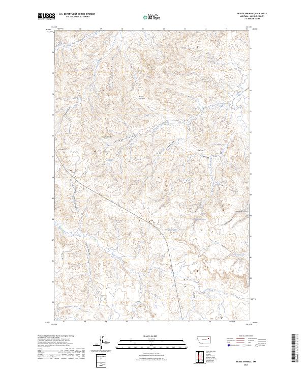
2024 McRae Springs
McCone County, MT
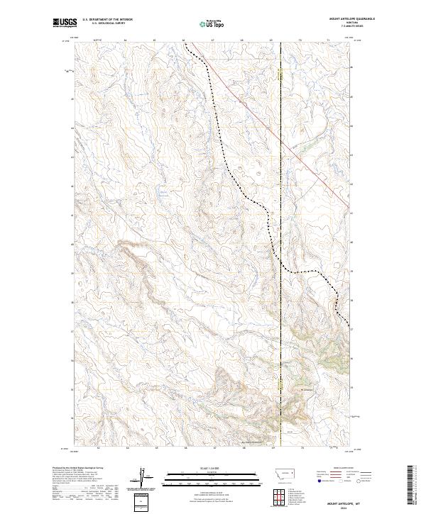
2024 Mount Antelope
McCone County, MT
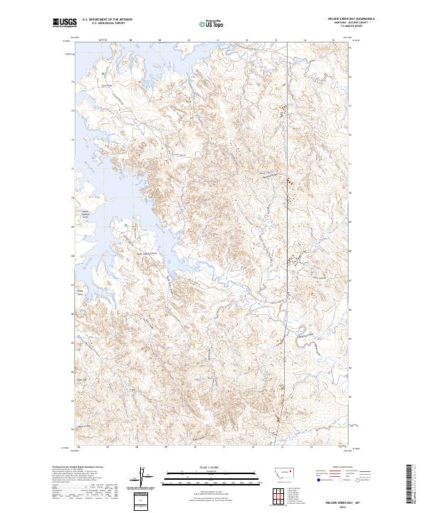
2024 Nelson Creek Bay
McCone County, MT
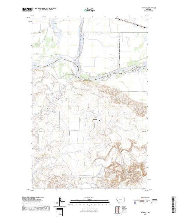
2024 Nickwall
McCone County, MT
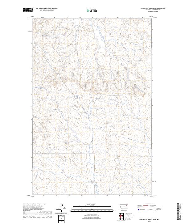
2024 North Fork Horse Creek
McCone County, MT
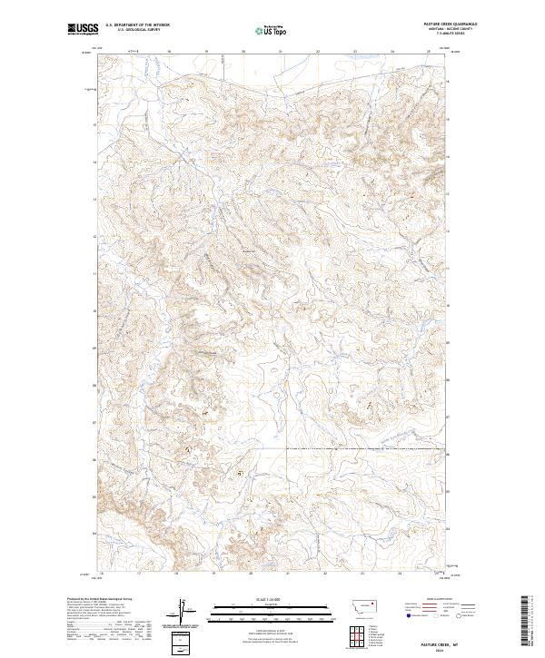
2024 Pasture Creek
McCone County, MT
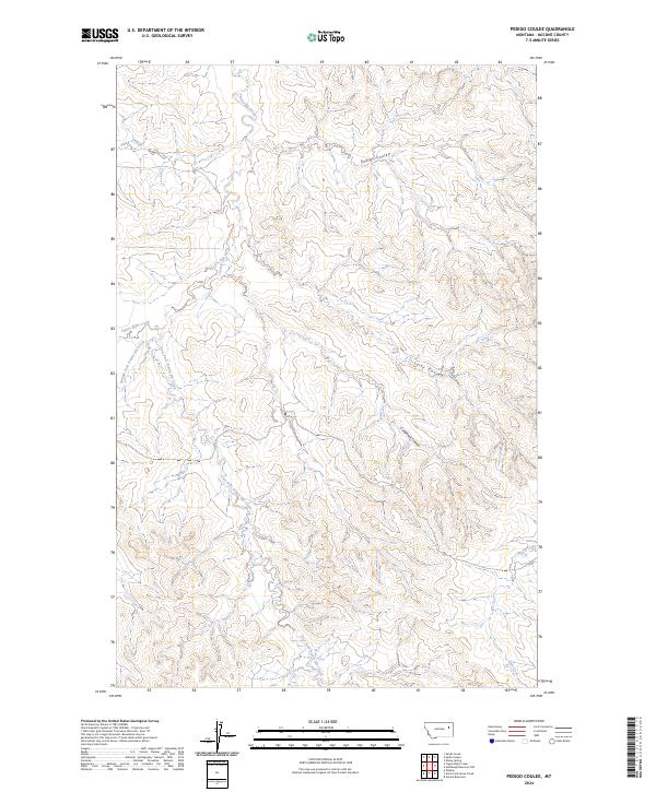
2024 Pedigo Coulee
McCone County, MT
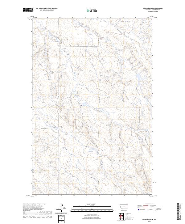
2024 Quick Reservoir
McCone County, MT
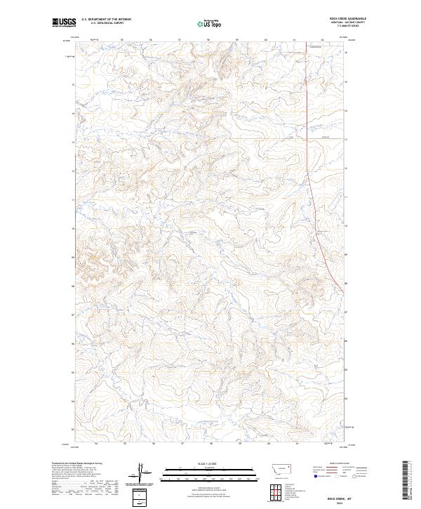
2024 Rock Creek
McCone County, MT
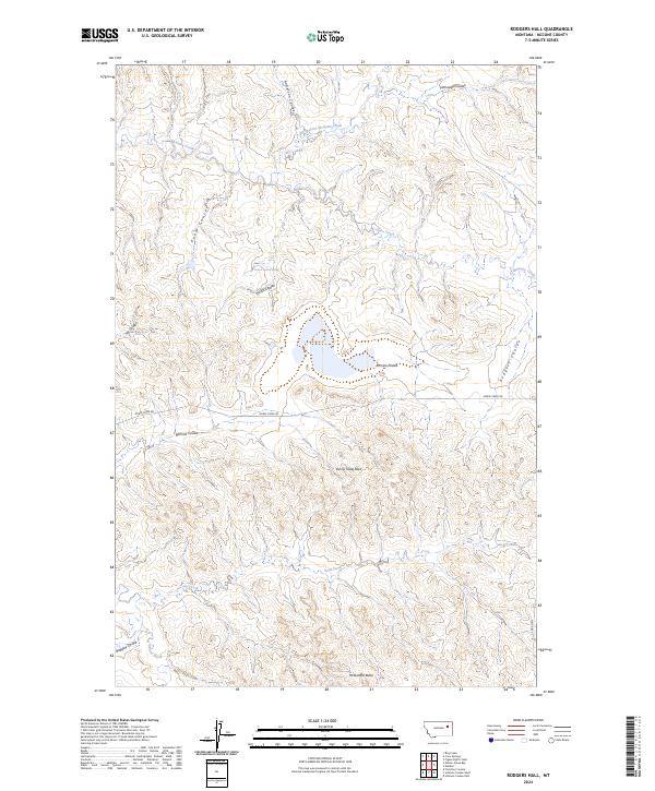
2024 Rodgers Hall
McCone County, MT
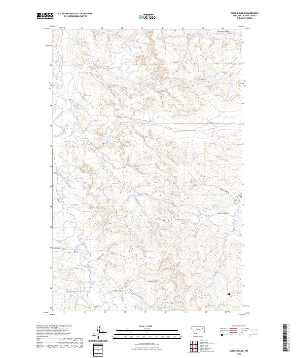
2024 Sadie Coulee
McCone County, MT
2024 Sand Arroyo
McCone County, MT
2024 Shade Creek
McCone County, MT
2024 Turtle Creek
McCone County, MT
2024 Watkins
McCone County, MT
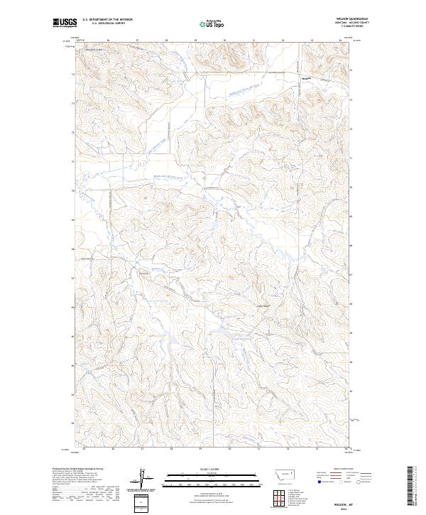
2024 Weldon
McCone County, MT
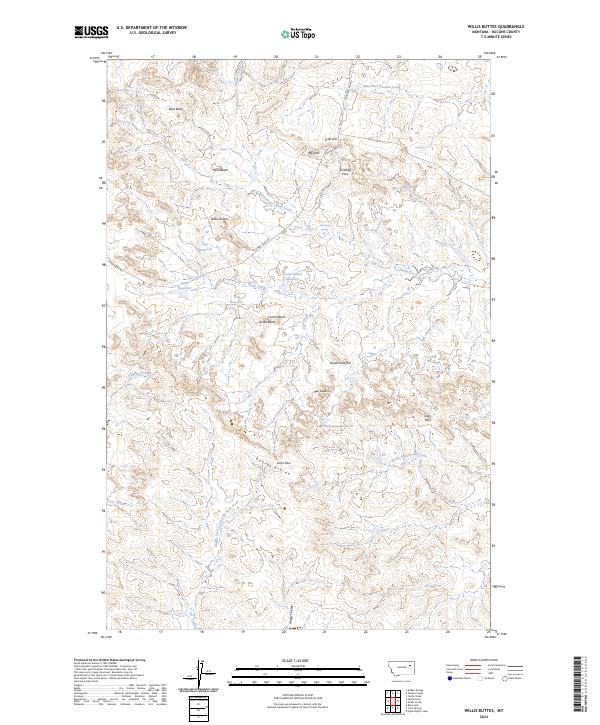
2024 Willis Buttes
McCone County, MT
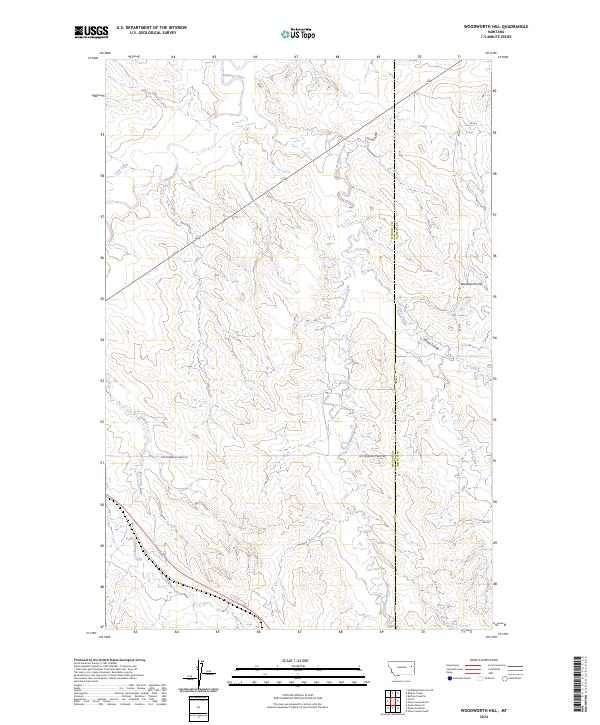
2024 Woodworth Hill
McCone County, MT
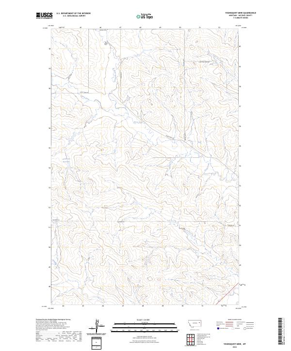
2024 Youngquist Mine
McCone County, MT