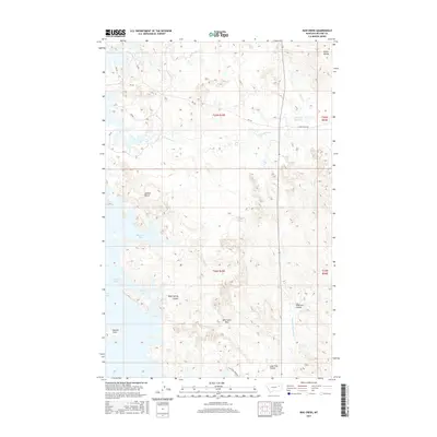
2017 Map of Bug Creek
USGS Topo · Published 2017About this map
Fort Peck Lake and its Dry Arm define the western reaches of this McCone County landscape, where the water meets a deeply eroded terrain of coulees and ridges. The intricate shoreline includes Bug Creek Bay and Black Spring Coulee Bay, illustrating the complex hydrology created by the damming of the Missouri River. Further inland, the high ground of Bonin Divide and Lonnies Bench separates various drainage systems, including the N Fork Rock Cr and S Fork Rock Cr. This 2017 survey documents a sparsely populated ranching region marked by family-named landmarks like the John Ball Reservoir and geographic crossings such as Wild Horse Pass. The network of section-line roads, including E Rock Creek Rd and N McGuire Creek Rd, provides the primary access through this Missouri River Breaks environment.
Find a feature on this map
27 named features on this map. Tap any name to fly to it.
Don’t see what you’re looking for? This feature index may not catch every label — zoom into the map to look around manually.
Map Details
Editions of this 2017 Bug Creek Map
This is the sole edition of this map. No revisions or reprints were ever made.
Other maps of this area

1954 · Jordan
USGS Topo · 1:250,000

1956 · Jordan
USGS Topo · 1:250,000

1958 · Jordan
USGS Topo · 1:250,000

1964 · Jordan
USGS Topo · 1:250,000

1972 · Short Creek
USGS Topo · 1:24,000
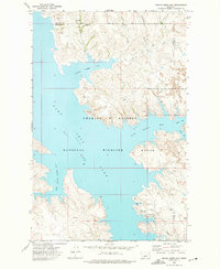
1972 · Spring Creek Bay
USGS Topo · 1:24,000

1972 · Ash Creek East
USGS Topo · 1:24,000

1973 · Crow Springs
USGS Topo · 1:24,000
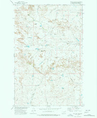
1973 · Willis Buttes
USGS Topo · 1:24,000
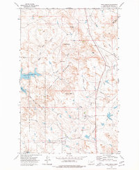
1973 · Sand Arroyo
USGS Topo · 1:24,000